Merrickville Public Beach
Location: Merrickville-Wolford
GPS coordinates: 44.91630,-75.84430
Latest update: November 27, 2025 21:06
Percival House
748 m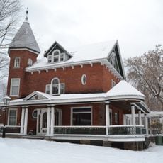
205 Mill Street
602 m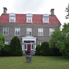
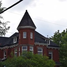
Aaron Mirick House/Hilltop Manor
1 km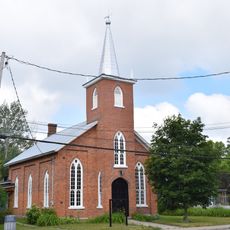
Knox Presbyterian Church
796 m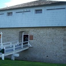
Merrickville Blockhouse
517 m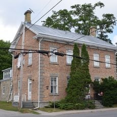
John Burchill House
764 m
206 Colborne Street East
945 m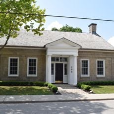
Stephen Mirick House
691 m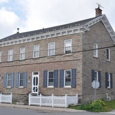
606-612 St. Lawrence Street
781 m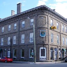
Jakes-Maclean Block
606 m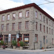
Aaron Mirick Building
572 m
Rideau Migratory Bird Sanctuary
2.5 km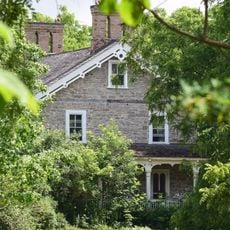
William Mirick House #3
707 m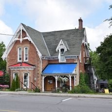
Municipal Library and Offices
682 m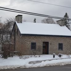
Merrick Tavern
552 m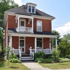
Donaldson House
834 m
George Mirick House
676 m
Old Town Hall
353 m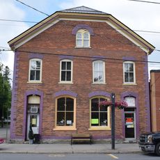
Donovan's Commercial Building
613 m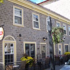
McKibbon Building
576 m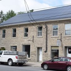
Hutchins-Heroux Commercial Building
599 m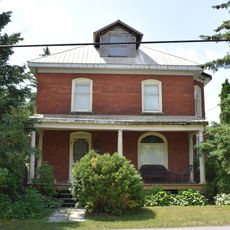
205 Brock Street East
796 m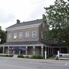
Merrick Hotel
665 m
441 Main Street East
1.2 km
230 Brock Street West
417 m
Scenic viewpoint
4.4 km
Scenic viewpoint
620 m
12 Pounder
723 mReviews
Visited this place? Tap the stars to rate it and share your experience / photos with the community! Try now! You can cancel it anytime.
Discover hidden gems everywhere you go!
From secret cafés to breathtaking viewpoints, skip the crowded tourist spots and find places that match your style. Our app makes it easy with voice search, smart filtering, route optimization, and insider tips from travelers worldwide. Download now for the complete mobile experience.

A unique approach to discovering new places❞
— Le Figaro
All the places worth exploring❞
— France Info
A tailor-made excursion in just a few clicks❞
— 20 Minutes