Location: France métropolitaine
GPS coordinates: 49.71201,-1.94711
Latest update: November 20, 2025 20:36
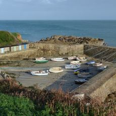
Port Racine
3.6 km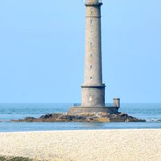
La Hague lighthouse
1.2 km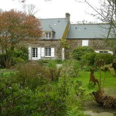
Maison Jacques-Prévert
4.9 km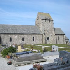
Église Notre-Dame de Jobourg
4.4 km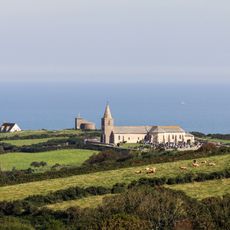
Église de Saint-Germain-des-Vaux
2.8 km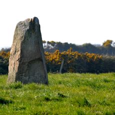
Menhir de la bergerie des Étennevaux
1.7 km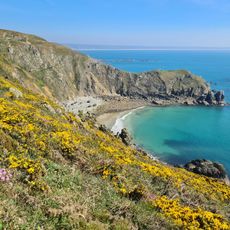
Grottes de Jobourg
4.1 km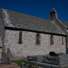
Church of St. Gilles, Auderville
1.1 km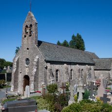
Église Saint-Martin d'Omonville-la-Petite
4.8 km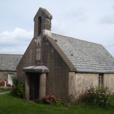
Chapelle du fort Saint-Martin
3.7 km
Les chèvres des falaises de Jobourg
4.8 km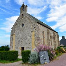
Chapelle Notre-Dame des Bizeaux
2.3 km
Scenic viewpoint
4 km
Scenic viewpoint
1.7 km
Scenic viewpoint
1.6 km
Scenic viewpoint
3.9 km
Scenic viewpoint
3.9 km
Scenic viewpoint
455 m
German Bunker Tunnel
1.5 km
Batterie de Saint-Martin
3.7 km
Buvette de la falaise
3.9 km
Nez de Jobourg
3.9 km
Croix Ricard
4.2 km
Memorial stone, memorial
1.2 km
Croix du Montsiquet
1.2 km
Wayside cross
2.7 km
Croix du Besneville
4.6 km
Croix du Valet
2.4 kmReviews
Visited this place? Tap the stars to rate it and share your experience / photos with the community! Try now! You can cancel it anytime.
Discover hidden gems everywhere you go!
From secret cafés to breathtaking viewpoints, skip the crowded tourist spots and find places that match your style. Our app makes it easy with voice search, smart filtering, route optimization, and insider tips from travelers worldwide. Download now for the complete mobile experience.

A unique approach to discovering new places❞
— Le Figaro
All the places worth exploring❞
— France Info
A tailor-made excursion in just a few clicks❞
— 20 Minutes