Wyalkatchem 1928
Location: Wyalkatchem
Location: Shire Of Wyalkatchem
GPS coordinates: -31.18068,117.38228
Latest update: November 24, 2025 22:47

Yorkrakine Rock
29.8 km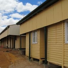
Wyalkatchem Railway Barracks
248 m
Goods Shed Wyalkatchem
130 m
Loading Ramp and Crane Wyalkatchem
150 m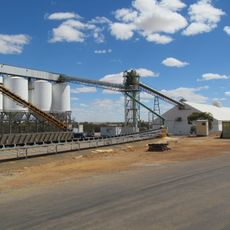
Wyalkatchem grain receival point
429 m
National Bank, Wyalkatchem
46 m
Police Quarters
39.9 km
Lady Novar Hostel
696 m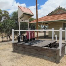
Lever Frame. Wyalkatchem Station
140 m
Wyalkatchem Railway and CBH Precinct
262 m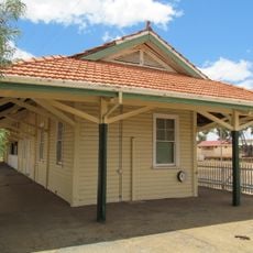
Wyalkatchem Railway Station
160 m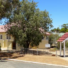
All Saints Anglican Church
39.9 km
All Saints Anglican Church, Trayning
39.9 km
Nembudding grain receival point
17.8 km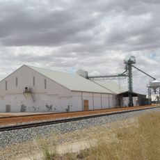
Dowerin grain receival point
33.6 km
CBH Wheat Bin
212 m
Naaning Well
19.3 km
Trayning Golf Course
39.8 km
Yelbeni Golf Course
25.6 km
Dowerin Golf Course
31.7 km
Rusty the Tin Dog
33.6 km
Memorial
26.8 km
Pioneers of Yelbeni
26.9 km
Memorial
258 m
Memorial
197 m
Minnivale Bakery
19.7 km
Memorial
33.6 km
Rosey the Tin Dog
33.5 kmReviews
Visited this place? Tap the stars to rate it and share your experience / photos with the community! Try now! You can cancel it anytime.
Discover hidden gems everywhere you go!
From secret cafés to breathtaking viewpoints, skip the crowded tourist spots and find places that match your style. Our app makes it easy with voice search, smart filtering, route optimization, and insider tips from travelers worldwide. Download now for the complete mobile experience.

A unique approach to discovering new places❞
— Le Figaro
All the places worth exploring❞
— France Info
A tailor-made excursion in just a few clicks❞
— 20 Minutes