
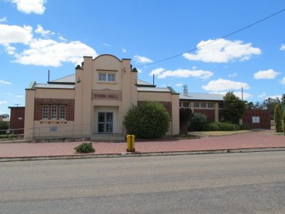
Wyalkatchem, town in wheatbelt region of Western Australia
Location: Shire Of Wyalkatchem
GPS coordinates: -31.17792,117.38294
Latest update: June 17, 2025 05:11
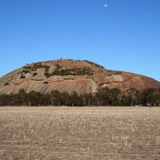
Kokerbin Rock
84.9 km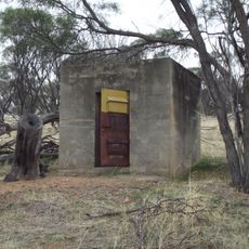
US Naval Ammunition Depot (7 NAD)
90.7 km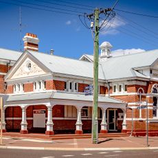
Northam Post Office
86.1 km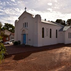
St Francis Xavier Roman Catholic Church of Quairading
92.2 km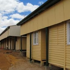
Wyalkatchem Railway Barracks
495 m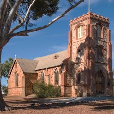
St John's Anglican Church & Parish Hall, Northam
85.4 km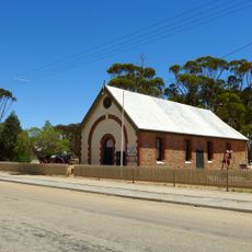
Agricultural Hall, Kellerberrin
59.9 km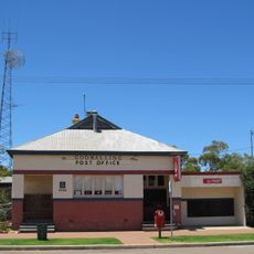
Goomalling Post Office & Quarters
54.6 km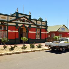
Roads Board Hall and Gardens
54.4 km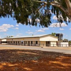
Wongan Hills Railway Barracks
71.2 km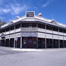
Colonial Tavern & Stables, Northam
86.9 km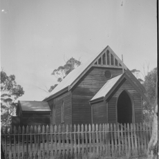
St Andrew's Anglican Church & Cemetery, Greenhills
93.6 km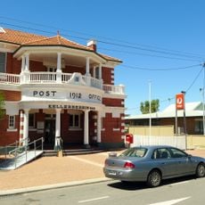
Kellerberrin Post Office & Residence
60 km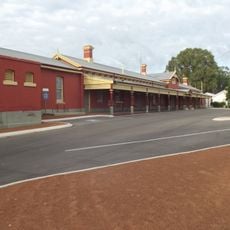
Northam Railway Station (former)
87 km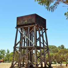
Railway Water Tower, Cunderdin
54.4 km
Northam Town Hall/Lesser Hall
86 km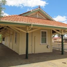
Wyalkatchem Railway Station
406 m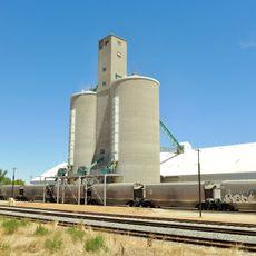
Cunderdin grain receival point
53.9 km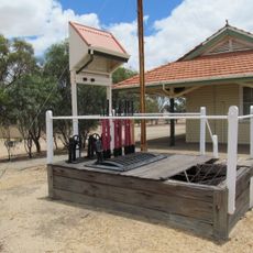
Lever Frame. Wyalkatchem Station
407 m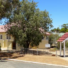
All Saints Anglican Church
39.8 km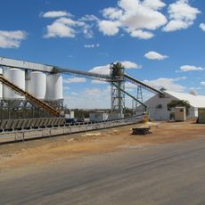
Wyalkatchem grain receival point
558 m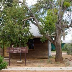
Nungarin Roads Board Office (fmr)
68.4 km
Alice Williams Memorial Building, Nungarin
68.5 km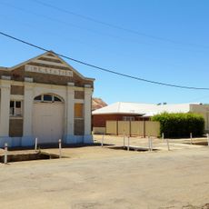
Kellerberrin Fire Station
60.1 km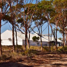
Nembudding grain receival point
17.7 km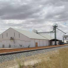
Dowerin grain receival point
33.6 km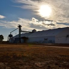
Gabbin grain receival point
50.7 km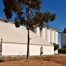
Tammin grain receival point
52.6 kmReviews
Visited this place? Tap the stars to rate it and share your experience / photos with the community! Try now! You can cancel it anytime.
Discover hidden gems everywhere you go!
From secret cafés to breathtaking viewpoints, skip the crowded tourist spots and find places that match your style. Our app makes it easy with voice search, smart filtering, route optimization, and insider tips from travelers worldwide. Download now for the complete mobile experience.

A unique approach to discovering new places❞
— Le Figaro
All the places worth exploring❞
— France Info
A tailor-made excursion in just a few clicks❞
— 20 Minutes