Hl. Florian
Location: Bruck an der Mur
GPS coordinates: 47.40944,15.26551
Latest update: November 15, 2025 00:44
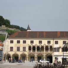
Kornmesserhaus
320 m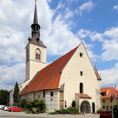
Stadtpfarrkirche Bruck an der Mur
247 m
Stadtbefestigung Bruck an der Mur
330 m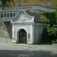
Maria-Hilf-Kapelle
206 m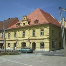
Apothekerhaus
247 m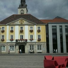
Rathaus
264 m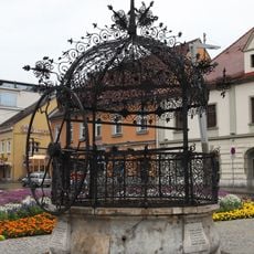
Eiserner Brunnen
271 m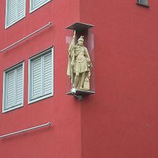
Hauszeichen hl. Florian
1 m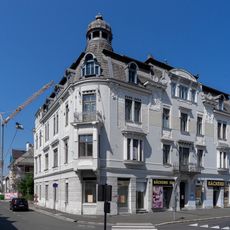
Antauerhaus
279 m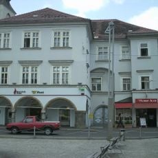
Wohn- und Geschäftshaus, Fabriziushaus
305 m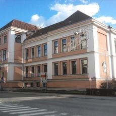
Volksschule Körnerstraße
114 m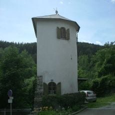
Schifferturm und Teil der Stadtbefestigung
243 m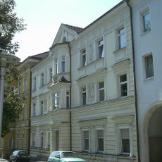
Wohnhaus
73 m
Kindergarten Bruck an der Mur
298 m
Bildstock
85 m
Hahnhof
285 m
Teile der Stadtbefestigung
205 m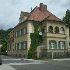
Evang. Pfarrhof
328 m
Pfarrhof mit Hofgebäude und Teil der Stadtbefestigung
288 m
Wohnhaus
95 m
Eiserner Brunnen
272 m
Antauerhaus
288 m
Salvator-Apotheke
247 m
Sudentendeutsche Landmannschaft
270 m
Den toten Kameraden 1914-1918
229 m
Ludwig Anzengruber
249 m
Catholic church building, wayside cross, Christianity
265 m
Schiller-Linde
228 mReviews
Visited this place? Tap the stars to rate it and share your experience / photos with the community! Try now! You can cancel it anytime.
Discover hidden gems everywhere you go!
From secret cafés to breathtaking viewpoints, skip the crowded tourist spots and find places that match your style. Our app makes it easy with voice search, smart filtering, route optimization, and insider tips from travelers worldwide. Download now for the complete mobile experience.

A unique approach to discovering new places❞
— Le Figaro
All the places worth exploring❞
— France Info
A tailor-made excursion in just a few clicks❞
— 20 Minutes