Friedensdenkmal
Location: Trautmannsdorf an der Leitha
Inception: January 1, 2005
GPS coordinates: 48.02169,16.63065
Latest update: November 13, 2025 18:30
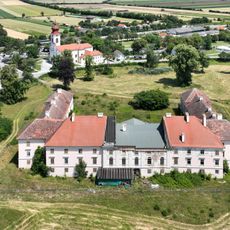
Schloss Trautmannsdorf
756 m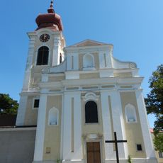
Kath. Pfarrkirche hl. Katharina
861 m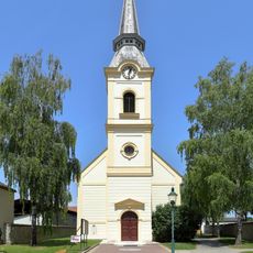
Parish church in Sarasdorf
3.3 km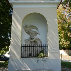
Ölbergkapelle
104 m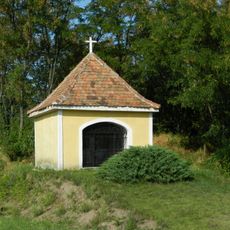
Kapelle
3.4 km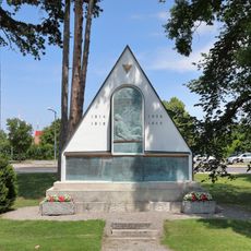
War memorial
827 m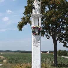
Schwarzes Kreuz, Sommerein
3.2 km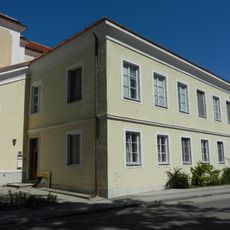
Pfarrhof
877 m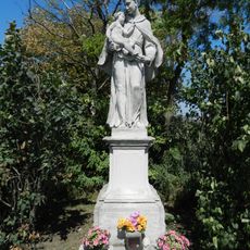
Figurenbildstock hl. Antonius
1.3 km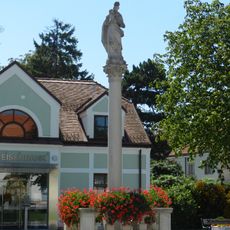
Figurenbildstock hl. Stanislaus
388 m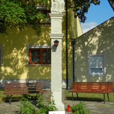
Figurenbildstock
3.3 km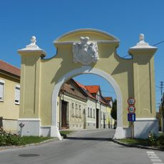
Markttor
141 m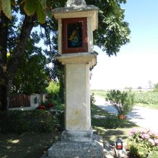
Bildstock
2.8 km
Figurenbildstock, sog. Bürzelnkreuz oder Piazollkreuz
3.5 km
Figur
2.5 km
Turekkreuz
1.4 km
Medusa and Tiger
1.1 km
St. Sebastianus
2.5 km
Transmission
371 m
Cholerakreuz
3.1 km
Christophorus
3.1 km
Wayside cross
2.2 km
Wayside cross
500 m
Wayside cross
1.6 km
Alexander
2.8 km
Wayside cross
2.8 km
Memorial, commemorative plaque
837 m
Unteres Tor
1.1 kmReviews
Visited this place? Tap the stars to rate it and share your experience / photos with the community! Try now! You can cancel it anytime.
Discover hidden gems everywhere you go!
From secret cafés to breathtaking viewpoints, skip the crowded tourist spots and find places that match your style. Our app makes it easy with voice search, smart filtering, route optimization, and insider tips from travelers worldwide. Download now for the complete mobile experience.

A unique approach to discovering new places❞
— Le Figaro
All the places worth exploring❞
— France Info
A tailor-made excursion in just a few clicks❞
— 20 Minutes