Gemeindewappen
Location: Sieghartskirchen
GPS coordinates: 48.25581,16.01631
Latest update: November 12, 2025 06:06
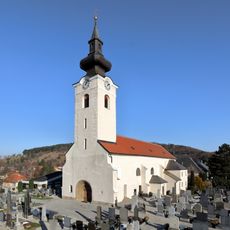
Kath. Pfarrkirche hl. Margaretha Sieghartskirchen
339 m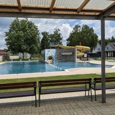
Erlebnisbad Sieghartskirchen
382 m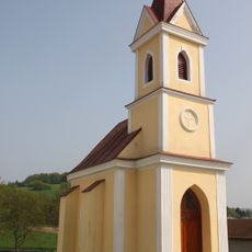
Ortskapelle hl. Sebastian
1.1 km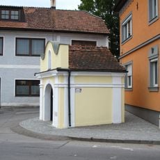
Rosalienkapelle, Sieghartskirchen
386 m
Römische Villa Vogelwiese
931 m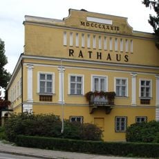
Rathaus, ehem. Poststation Sieghartskirchen
15 m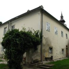
Pfarrhof Linzer Straße, Sieghartskirchen 2
306 m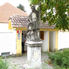
Figurenbildstock hl. Florian-Statue, Sieghartskirchen
244 m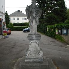
Johannes Nepomuk, Kirchberg, Sieghartskirchen
295 m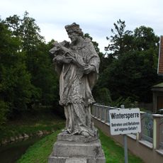
Johannes Nepomuk, Postbrücke, Sieghartskirchen
54 m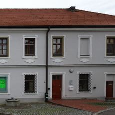
Ehem. Pfarrschule, Sieghartskirchen
306 m
Fundzone Mühlgstätte
1.1 km
Tullner Aussicht
676 m
Türkenkreuz
1.1 km
Kulturpavillion Sieghartskirchen
37 m
Rosalienkapelle
387 m
Memorial, war memorial
288 m
Hochkreuz
1.2 km
Place of worship, wayside shrine, house of prayer
1.5 km
Sculpture, Work of art
294 m
Wayside shrine
1.3 km
Wayside shrine, Christianity
643 m
Markuskreuz
881 m
Rotes Kreuz
1.5 km
Wayside shrine
1.6 km
Baderkreuz
1.4 km
Pestmarterl
1.4 km
Memorial stone, memorial
1.2 kmReviews
Visited this place? Tap the stars to rate it and share your experience / photos with the community! Try now! You can cancel it anytime.
Discover hidden gems everywhere you go!
From secret cafés to breathtaking viewpoints, skip the crowded tourist spots and find places that match your style. Our app makes it easy with voice search, smart filtering, route optimization, and insider tips from travelers worldwide. Download now for the complete mobile experience.

A unique approach to discovering new places❞
— Le Figaro
All the places worth exploring❞
— France Info
A tailor-made excursion in just a few clicks❞
— 20 Minutes