Lichtstadt Steyr - Lichtkreis West
Location: Sierning
Made from material: stone
GPS coordinates: 48.03220,14.33000
Latest update: November 15, 2025 22:48
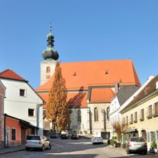
Pfarrkirche hl. Stephan, Sierning
2 km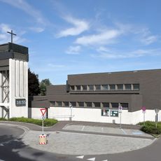
Pfarrkirche Sierninghofen-Neuzeug
1.9 km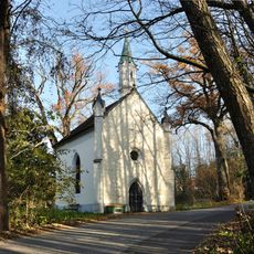
Sierning Werndl-Kapelle
608 m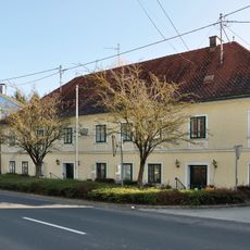
Sierning Bürgerspital
1.9 km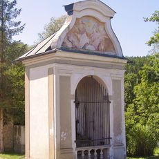
Wochenalt-Kapelle, Aschach an der Steyr
1.4 km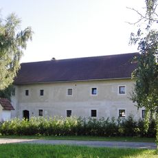
Bauernhof (Anlage), Gartenbauerngut
1.3 km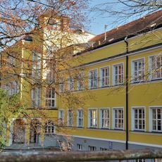
Sierning Volksschule
2 km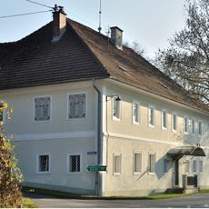
Sierning Lett Mühle
564 m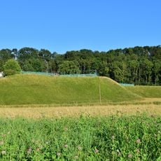
Kuhschellenböschung
1.2 km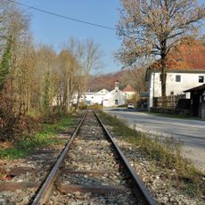
Steyrtalbahn in Neuzeug, Sierning
556 m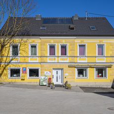
Bibliothek Sierning
2.1 km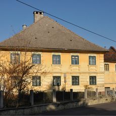
Sierning Ludwiggütl
2 km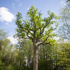
Eichen bei der Werndlkapelle
615 m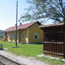
Aufnahmsgebäude Aschach/Steyr
1.4 km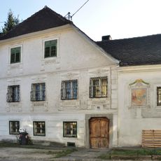
Bauhofer-Bäckenhaus, Sierninghofen
2 km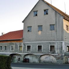
Ehem. Hirtner-Mühle
2 km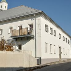
Taverne zu Neuzeug, Sierning
1.5 km
Sierninger Leiten
1.2 km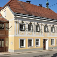
Sierning Ziererhäusl
2 km
Freibad Sierning
1.6 km
Alter Schmiedehammer
1.4 km
Veranstaltungszentrum Sierninghofen-Neuzeug
1.7 km
Wayside cross
1.2 km
Wayside cross
1.3 km
Wayside shrine
1.9 km
Wayside cross
839 m
Wayside cross
1.6 km
Waterfall
861 mReviews
Visited this place? Tap the stars to rate it and share your experience / photos with the community! Try now! You can cancel it anytime.
Discover hidden gems everywhere you go!
From secret cafés to breathtaking viewpoints, skip the crowded tourist spots and find places that match your style. Our app makes it easy with voice search, smart filtering, route optimization, and insider tips from travelers worldwide. Download now for the complete mobile experience.

A unique approach to discovering new places❞
— Le Figaro
All the places worth exploring❞
— France Info
A tailor-made excursion in just a few clicks❞
— 20 Minutes