
Sierning, municipality in Steyr-Land District, Upper Austria, Austria
Location: Steyr-Land District
Elevation above the sea: 367 m
Shares border with: Schiedlberg, Wolfern, Steyr, Garsten, Aschach an der Steyr, Waldneukirchen, Bad Hall, Rohr im Kremstal
Email: gemeinde@sierning.at
Website: http://sierning.at
GPS coordinates: 48.04472,14.31000
Latest update: March 2, 2025 21:00

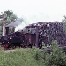
Steyr Valley Railway
5.7 km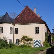
Schloss Rosenegg, Steyr
4.8 km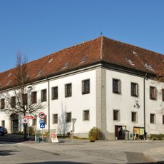
Schloss Sierning
118 m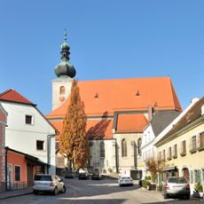
Pfarrkirche hl. Stephan, Sierning
49 m
Pfarrkirche Sierninghofen-Neuzeug
2 km
Gründbergsiedlung
5.5 km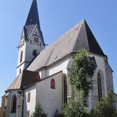
Aschach an der Steyr Parish Church
4 km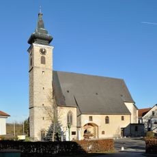
Pfarrkirche hl. Martin, Wolfern
6.6 km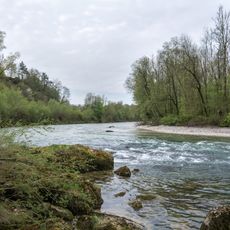
Untere Steyr
4 km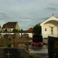
Steyr Schwamminger Straße Friedhof
5.7 km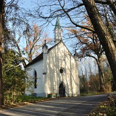
Sierning Werndl-Kapelle
2.5 km
Sierning Mitterweg-Kapelle
301 m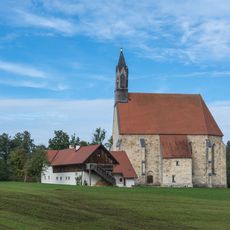
Catholic branch church of St. Blaise
6 km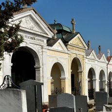
Sierning Friedhof
453 m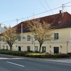
Sierning Bürgerspital
234 m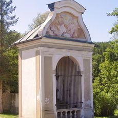
Wochenalt-Kapelle, Aschach an der Steyr
2.8 km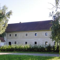
Bauernhof (Anlage), Gartenbauerngut
2.8 km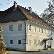
Sierning Lett Mühle
2.5 km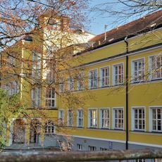
Sierning Volksschule
396 m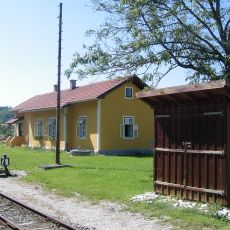
Aufnahmsgebäude Aschach/Steyr
3 km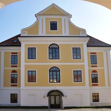
Sierning Pfarrhof
306 m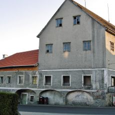
Ehem. Hirtner-Mühle
2.1 km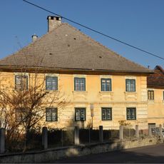
Sierning Ludwiggütl
2 km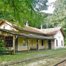
Aufnahmsgebäude Bahnhof Pergern
3.5 km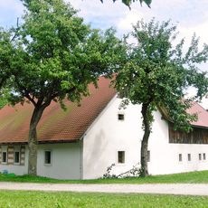
Mesnerhaus St. Blasien, Adlwang
6.1 km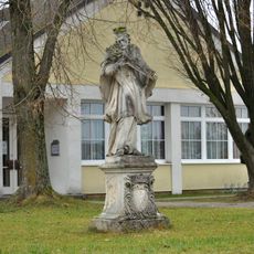
Figurenbildstock hl. Johannes Nepomuk
6.5 km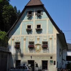
Ehemalige Papiermühle Roseggerstraße 3, Steyr
5.6 km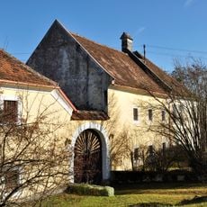
Mühle, ehem. Pfarrgutshof
6.3 kmReviews
Visited this place? Tap the stars to rate it and share your experience / photos with the community! Try now! You can cancel it anytime.
Discover hidden gems everywhere you go!
From secret cafés to breathtaking viewpoints, skip the crowded tourist spots and find places that match your style. Our app makes it easy with voice search, smart filtering, route optimization, and insider tips from travelers worldwide. Download now for the complete mobile experience.

A unique approach to discovering new places❞
— Le Figaro
All the places worth exploring❞
— France Info
A tailor-made excursion in just a few clicks❞
— 20 Minutes