Hohe Tauern
Location: Uttendorf
Made from material: stone
GPS coordinates: 47.28435,12.57199
Latest update: November 21, 2025 13:00
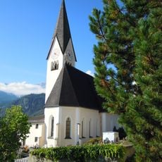
Saint Rupert Church
266 m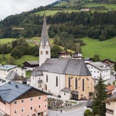
Pfarrkirche Stuhlfelden
3.4 km
Schloss Labach
4.4 km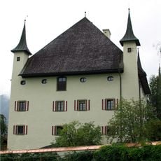
Schloss Lichtenau
3.2 km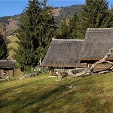
Keltendorf, Uttendorf
776 m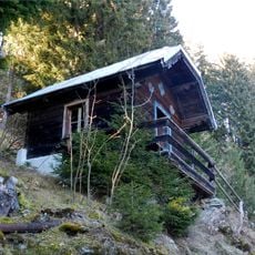
Saueckkapelle
4.3 km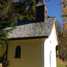
Waldkapelle, Stuhlfelden
3.9 km
Keltendorf Stoanabichl
773 m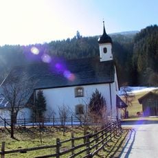
Saint Margaret Church
1.8 km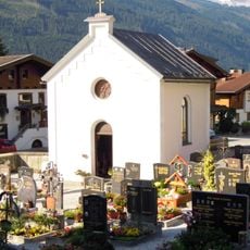
Lourdes-Kapelle, Uttendorf
271 m
Kriegerdenkmal Stuhlfelden
3.3 km
Schwaigergut
3.5 km
Jugendhaus Quehenberger
3.4 km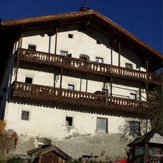
Reichensberggut, Uttendorf
967 m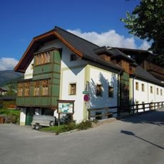
Pfarrhof Uttendorf, Salzburg
181 m
Bärensteig
4.7 km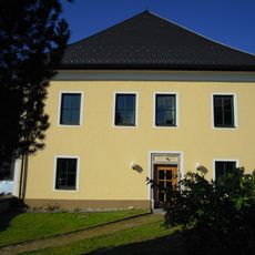
Mesnerhaus, Schulhaus
284 m
Bärensteigkopf
4.7 km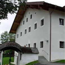
Pfarrhof
3.4 km
Flachbühel
4.5 km
Keltischer Baumkreis
760 m
Erlebnisbad Stuhlfelden
3 km
Work of art, sculpture
178 m
Archaeological site
942 m
Memorial, war memorial
3.3 km
Ehrenmal Uttendorf
187 m
Archaeological site
773 m
Waterfall, tourist attraction
2 kmReviews
Visited this place? Tap the stars to rate it and share your experience / photos with the community! Try now! You can cancel it anytime.
Discover hidden gems everywhere you go!
From secret cafés to breathtaking viewpoints, skip the crowded tourist spots and find places that match your style. Our app makes it easy with voice search, smart filtering, route optimization, and insider tips from travelers worldwide. Download now for the complete mobile experience.

A unique approach to discovering new places❞
— Le Figaro
All the places worth exploring❞
— France Info
A tailor-made excursion in just a few clicks❞
— 20 Minutes