Römer
Location: Untertauern
Creator: Hans Pacher
Creator: Hans Pacher
GPS coordinates: 47.25149,13.54803
Latest update: November 18, 2025 22:50
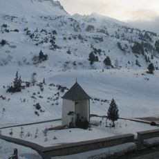
Tauernfriedhof
715 m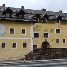
Tauernhaus Wisenegg
743 m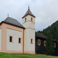
Filialkirche Obertauern
615 m
Seekarspitze
2.4 km
Plattenspitze
2.4 km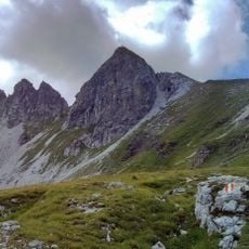
Gamsspitzl
1.9 km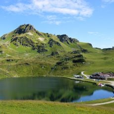
Grünwaldsee
1.2 km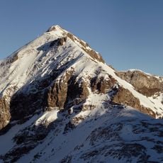
Gamsleitenspitze
1.4 km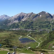
Große Kesselspitze
2.2 km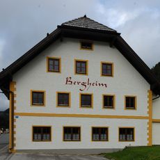
Ehem. Expositurhaus Bergheim, heute Jugendgästehaus
693 m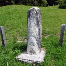
Meilenstein Untertauern 25484
3 km
Schneekarussell
1.9 km
Scenic viewpoint
3 km
Tretbootfahren
1.2 km
Kugelbahn
1 km
Beatles
425 m
The Beatles Monument
1.2 km
Scenic viewpoint
2.7 km
Herz Obertauern
1.9 km
Scenic viewpoint
1.5 km
Floß
1.3 km
Gedenkstein Lenke Martiny von Malastów
2.3 km
Catholic church building, wayside cross, Christianity
1.6 km
Wayside cross
2.4 km
Beatles Klavier (Filmdreh "Help")
1 km
Lungauer Familie
3.2 km
Johanneswasserfall
3 km
Waterfall
1.9 kmReviews
Visited this place? Tap the stars to rate it and share your experience / photos with the community! Try now! You can cancel it anytime.
Discover hidden gems everywhere you go!
From secret cafés to breathtaking viewpoints, skip the crowded tourist spots and find places that match your style. Our app makes it easy with voice search, smart filtering, route optimization, and insider tips from travelers worldwide. Download now for the complete mobile experience.

A unique approach to discovering new places❞
— Le Figaro
All the places worth exploring❞
— France Info
A tailor-made excursion in just a few clicks❞
— 20 Minutes