Heilig Hart
Location: Dessel
Inception: January 1, 1936
GPS coordinates: 51.24049,5.11232
Latest update: November 15, 2025 20:03
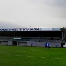
Stade Armand-Melis
1.4 km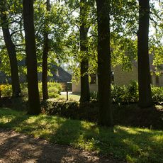
Boeretang
1.7 km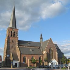
Sint-Niklaaskerk
57 m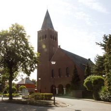
Sint-Antoniuskerk
2.5 km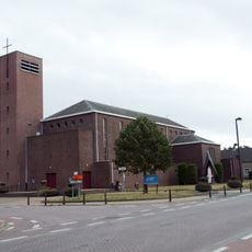
Heilige-Familiekerk
2.4 km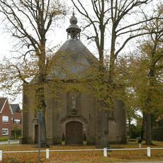
Onze-Lieve-Vrouw-ter-Sneeuwkapel
2.1 km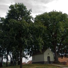
Kapel van het Heilig Kruis, Dessel
1.4 km
Scenic viewpoint
3.3 km
Panoo
2 km
Geographic location, scenic viewpoint
3.4 km
Water well
124 m
Deciduous forest, wayside shrine, Christianity, tree, Catholic church building
2.2 km
Sculpture, Work of art
1.4 km
Scenic viewpoint
1.6 km
Nuclea Strand
2.5 km
Wayside shrine
3.4 km
Wayside shrine, Christianity, tree, Catholic church building, deciduous forest
1.9 km
Christianity, house of prayer, Catholic church building, place of worship, wayside shrine
2.9 km
Tree, Catholic church building, deciduous forest, place of worship, wayside shrine, Christianity, house of prayer
864 m
Graffiti, Work of art
1.5 km
Walter Archer Memorial
2.1 km
Wayside shrine, Christianity, Catholic church building
891 m
House of prayer, tree, Catholic church building, deciduous forest, place of worship, wayside shrine, Christianity
595 m
Het Kanon van Dessel
93 m
British Soldier Memorial Plate
2 km
Wayside shrine, Christianity
3.4 km
Wayside cross
3.4 km
Wayside shrine, Christianity
2.4 kmVisited this place? Tap the stars to rate it and share your experience / photos with the community! Try now! You can cancel it anytime.
Discover hidden gems everywhere you go!
From secret cafés to breathtaking viewpoints, skip the crowded tourist spots and find places that match your style. Our app makes it easy with voice search, smart filtering, route optimization, and insider tips from travelers worldwide. Download now for the complete mobile experience.

A unique approach to discovering new places❞
— Le Figaro
All the places worth exploring❞
— France Info
A tailor-made excursion in just a few clicks❞
— 20 Minutes