
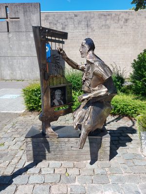
De Wever
Location: Meerhout
Website: http://File:De Wever (Meerhout) 01.jpg
GPS coordinates: 51.13076,5.09164
Latest update: November 11, 2025 08:42
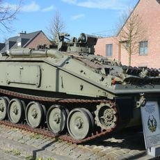
Tank memorial
1.6 km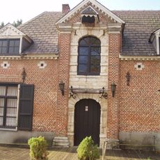
Meerhoutse Watermolen
880 m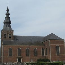
Sint-Trudokerk
881 m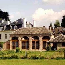
Kasteel van de Roye-de Menten de Horne
595 m
Sint-Jozefskerk
27 m
Heilig Grafkapel
1.1 km
Kapel van het Heilig Graf
1.1 km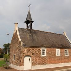
Sint-Elisabetkapel
1.1 km
Onze-Lieve-Vrouw van Opstalkapel
749 m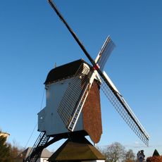
Prinskensmolen
272 m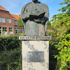
Mgr. Karel Cruysberghs
1.1 km
Zjef Vanuytsel
430 m
De Zonnewijzer
1.1 km
Liberator
1.6 km
Catholic church building, wayside shrine
1 km
De Marktvrouw
1 km
Kleffers
1.3 km
Veilig Nest
1.5 km
Mural, Work of art
388 m
Den Beer
1.1 km
Villa Justina
926 m
Prinskensmolenweg
265 m
Catholic church building, wayside shrine, Christianity
623 m
War memorial, memorial
1.6 km
Monument
959 m
Heilig Hartbeeld
919 m
Boerenkrijgmonument
1.1 km
Wayside shrine, Christianity
1.6 kmReviews
Visited this place? Tap the stars to rate it and share your experience / photos with the community! Try now! You can cancel it anytime.
Discover hidden gems everywhere you go!
From secret cafés to breathtaking viewpoints, skip the crowded tourist spots and find places that match your style. Our app makes it easy with voice search, smart filtering, route optimization, and insider tips from travelers worldwide. Download now for the complete mobile experience.

A unique approach to discovering new places❞
— Le Figaro
All the places worth exploring❞
— France Info
A tailor-made excursion in just a few clicks❞
— 20 Minutes