
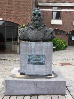
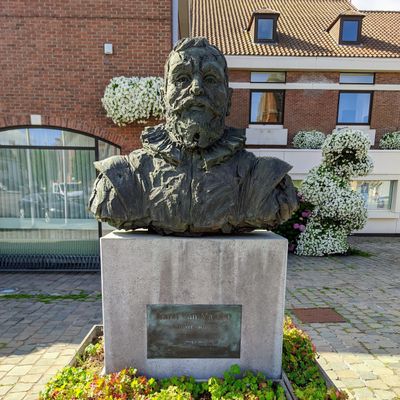
Karel van Mander
Location: Meulebeke
Location: Tielt
Inception: January 1, 2003
Creator: Rik Vermeersch
Subject:
Website: https://photos.app.goo.gl/h1vy4YnAXhwUqQQX6
Website: https://photos.app.goo.gl/h1vy4YnAXhwUqQQX6
GPS coordinates: 50.94912,3.28837
Latest update: November 12, 2025 10:09
Kasteel van Ardooie
4.1 km
Ingelmunster Castle
4.1 km
Mandescircuit
1.6 km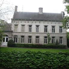
Kasteel Ter Borcht
732 m
Saint Amandus Church
4 km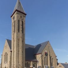
Sint-Amanduskerk
4.6 km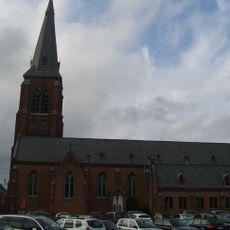
Sint-Amanduskerk
66 m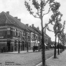
Meulebeke train station
493 m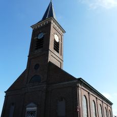
Onze-Lieve-Vrouw Bezoeking en Sint-Leokerk
3.2 km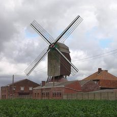
Herentmolen
3.8 km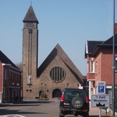
Sint-Antonius van Paduakerk
3.5 km
Onbevlekt Hart van Mariakerk
2 km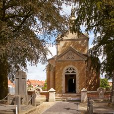
Grafkapel de Montblanc
3.7 km
Scenic viewpoint
4.5 km
Wayside cross
4.2 km
Gemeenschapscentrum "O.C. Mandelroos"
4.4 km
Installation artwork, Work of art
1.3 km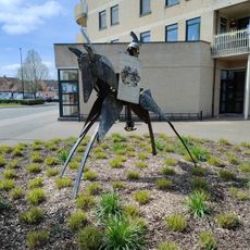
Work of art, sculpture
4.4 km
Work of art, statue
4.6 km
Heilig-Hartkerk
3 km
Kruisbeeld
4.3 km
Christianity, wayside shrine
4.5 km
't Veldkruis
4 km
Grafmonument
3.7 km
War memorial, memorial
192 m
Catholic church building, wayside shrine, Christianity
4.2 km
PRIJS ARTHUR OLIVIER
80 mReviews
Visited this place? Tap the stars to rate it and share your experience / photos with the community! Try now! You can cancel it anytime.
Discover hidden gems everywhere you go!
From secret cafés to breathtaking viewpoints, skip the crowded tourist spots and find places that match your style. Our app makes it easy with voice search, smart filtering, route optimization, and insider tips from travelers worldwide. Download now for the complete mobile experience.

A unique approach to discovering new places❞
— Le Figaro
All the places worth exploring❞
— France Info
A tailor-made excursion in just a few clicks❞
— 20 Minutes