
De hoge bi
Location: Nederbrakel
Location: Brakel
Creator: Willy Broodcoorens
Creator: Willy Broodcoorens
GPS coordinates: 50.79825,3.76415
Latest update: November 15, 2025 04:18
Valkenberg
2.3 km
Tenbosse
539 m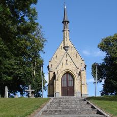
Toepkapel
906 m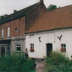
Watermolen op Grotenbroek
2.4 km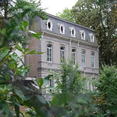
Kasteel Topbronnen
1 km
Klooster van de zusters van het Heilig Hart van Maria
339 m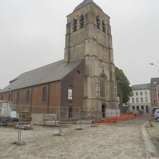
Sint-Pieter-in-Bandenkerk
612 m
De Rijdtmeersen
747 m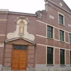
Moederhuis van de congregatie der zusters penitenten van Sint-Franciscus van Assisi van Opbrakel
1.2 km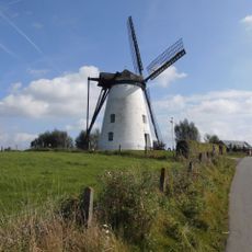
Verrebeekmolen
1.3 km
Wayside cross Riebeke-Gauwinkel, Opbrakel
1.6 km
Slijpkotmolen
1.2 km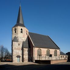
Sint-Martinuskerk
1.3 km
Diggiehoeve
1.2 km
Scenic viewpoint
2.4 km
Memorial
927 m
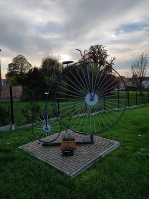
Standbeeld Ronde van Vlaanderen
350 m
Boulevard Spets
2.3 km
Braekelkip
1.1 km
Wayside shrine
1.6 km
OLSA
791 m
Catholic church building, wayside shrine, Christianity
910 m
Catholic church building, wayside shrine, Christianity
901 m
Christianity, Catholic church building, wayside shrine
895 m
Catholic church building, wayside shrine, Christianity
916 m
Catholic church building, wayside shrine, Christianity
919 m
Catholic church building, wayside shrine, Christianity
911 m
Catholic church building, wayside shrine, Christianity
905 mReviews
Visited this place? Tap the stars to rate it and share your experience / photos with the community! Try now! You can cancel it anytime.
Discover hidden gems everywhere you go!
From secret cafés to breathtaking viewpoints, skip the crowded tourist spots and find places that match your style. Our app makes it easy with voice search, smart filtering, route optimization, and insider tips from travelers worldwide. Download now for the complete mobile experience.

A unique approach to discovering new places❞
— Le Figaro
All the places worth exploring❞
— France Info
A tailor-made excursion in just a few clicks❞
— 20 Minutes