Heilig Hart-beeld
Location: Velm
Location: Sint-Truiden
GPS coordinates: 50.77891,5.13287
Latest update: November 13, 2025 16:53

Kerkom brewery
2.4 km
Kasteel van Gingelom
3.1 km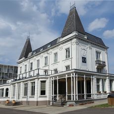
Kasteel Peten-Van Halen
952 m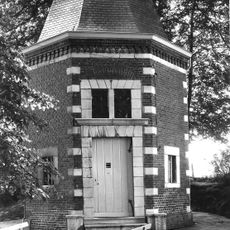
Kapel van de Bruine-Lieve-Vrouw
2.5 km
Wit Kasteel
3 km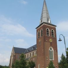
Sint-Petruskerk
3.2 km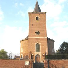
Sint-Martinuskerk
51 m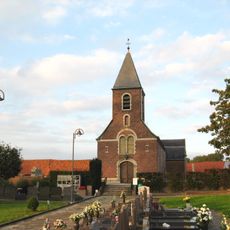
Sint-Petrus en Pauluskerk
3.1 km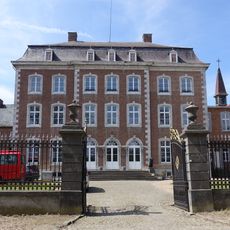
Kasteel van Velm
1.2 km
Sint-Pieters Bandenkerk
3.2 km
Molen van Kamerijck
2.2 km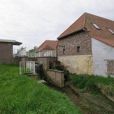
Maasrodemolen
2.4 km
Scenic viewpoint
1.6 km
Panoramabassin
2.2 km
Catholic church building, wayside cross, Christianity
1.8 km
Christianity, Catholic church building, wayside shrine
2.8 km
Wayside shrine, Christianity, Catholic church building
3.1 km
Boomkapel
1.7 km
Catholic church building, wayside shrine, Christianity
3.1 km
Catholic church building, wayside shrine, Christianity
1.2 km
Christianity, Catholic church building, wayside shrine
3 km
Catholic church building, wayside shrine, Christianity
2.8 km
Boomkapel
849 m
't Lieve Heerke
1.2 km
Monument
3.2 km
Wayside shrine, Christianity, Catholic church building
3.2 km
Lourdersgrot
961 m
Wayside shrine, Christianity
3.2 kmReviews
Visited this place? Tap the stars to rate it and share your experience / photos with the community! Try now! You can cancel it anytime.
Discover hidden gems everywhere you go!
From secret cafés to breathtaking viewpoints, skip the crowded tourist spots and find places that match your style. Our app makes it easy with voice search, smart filtering, route optimization, and insider tips from travelers worldwide. Download now for the complete mobile experience.

A unique approach to discovering new places❞
— Le Figaro
All the places worth exploring❞
— France Info
A tailor-made excursion in just a few clicks❞
— 20 Minutes