Totem
Location: Kunžak
Made from material: wood
GPS coordinates: 49.08509,15.22643
Latest update: November 12, 2025 17:01
Ďáblova prdel
2.4 km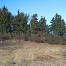
Jalovce u Valtínova
2.3 km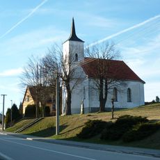
Church of Saint Mary
3 km
Boží muka
2.9 km
Buk na Zvůli
1.6 km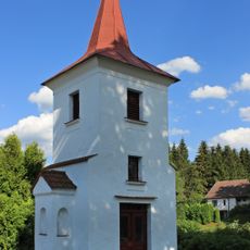
Chapel in Mosty
2.8 km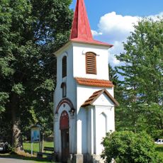
Kaple ve Zvůli
1.5 km
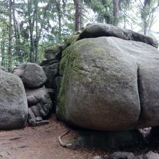
Ďáblův chléb
945 m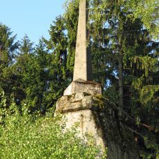
Triangulační bod Vysoký kámen
3 km
Bizon
2.9 km
Christianity, wayside cross
3 km
Felsformation Teufelsbrot
953 m
Břízkový Hájek
1.9 km
Skalka
1.6 km
Felsformation Versteinerte Drachen
1.7 km
Scenic viewpoint
2.4 km
Tree, wayside shrine
2.9 km
Memorial
2.6 km
Vysoký kámen
3 km
Catholic church building, wayside cross, Christianity
2.7 km
Wayside shrine, Christianity
2.9 km
Wayside cross, Christianity
2.8 km
Wayside cross, Christianity
2.8 km
Wayside cross, Christianity
2.9 km
Wayside cross, Christianity
1.4 km
Wayside cross, Christianity
2.5 km
Memorial
2.9 km
Wayside cross, Christianity
3 kmReviews
Visited this place? Tap the stars to rate it and share your experience / photos with the community! Try now! You can cancel it anytime.
Discover hidden gems everywhere you go!
From secret cafés to breathtaking viewpoints, skip the crowded tourist spots and find places that match your style. Our app makes it easy with voice search, smart filtering, route optimization, and insider tips from travelers worldwide. Download now for the complete mobile experience.

A unique approach to discovering new places❞
— Le Figaro
All the places worth exploring❞
— France Info
A tailor-made excursion in just a few clicks❞
— 20 Minutes