Lidé bděte
Location: Ostrožská Nová Ves
GPS coordinates: 49.00234,17.43863
Latest update: November 16, 2025 18:03
Jewish cemetery in Uherský Ostroh
3.2 km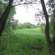
Lázeňský mokřad
1.8 km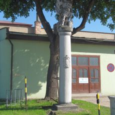
Socha svatého Floriána
3.1 km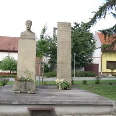
Pomník T. G. Masaryka
55 m
Údolí Okluky
3.4 km
Správní budova firmy DYAS
3.5 km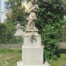
Socha svatého Jana Nepomuckého
3.7 km
Church of Saint Wenceslaus
279 m
Pomník Jana knížete z Liechtensteinu
3.1 km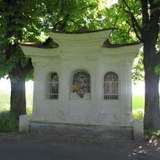
Výklenková kaplička - poklona
3.1 km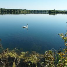
Vodárenská nádrž
2.5 km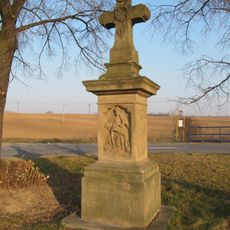
Krucifix
3.2 km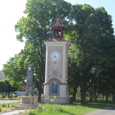
Bell tower in Ostrožské Předměstí
3.2 km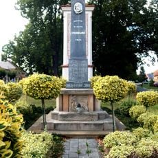
World War I memorial in Ostrožské Předměstí
3.2 km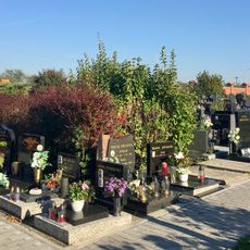
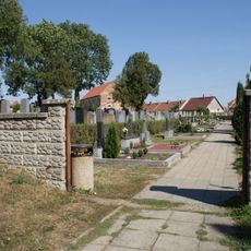
Cemetery in Ostrožská Nová Ves
200 m
Údolí Okluky
3.4 km
Golf Resort Jezera
1.4 km
Sv. Jan Nepomucký
3.7 km
Pomník odboje 1. sv. války
3.2 km
Scenic viewpoint
3.7 km
Wayside cross, Christianity
3.2 km
Wayside cross
2.3 km
Wayside cross
3 km
Memorial
3.1 km
Wayside cross
3.1 km
Wayside shrine, Christianity
3.6 km
Wayside shrine, Christianity
2.3 km
Wayside cross
2 kmReviews
Visited this place? Tap the stars to rate it and share your experience / photos with the community! Try now! You can cancel it anytime.
Discover hidden gems everywhere you go!
From secret cafés to breathtaking viewpoints, skip the crowded tourist spots and find places that match your style. Our app makes it easy with voice search, smart filtering, route optimization, and insider tips from travelers worldwide. Download now for the complete mobile experience.

A unique approach to discovering new places❞
— Le Figaro
All the places worth exploring❞
— France Info
A tailor-made excursion in just a few clicks❞
— 20 Minutes