Le cycle de l’eau
Location: Mazirot
Inception: January 1, 2010
Creator: Vincent Tétu
Made from material: wood
Creator: Vincent Tétu
GPS coordinates: 48.31200,6.17843
Latest update: July 20, 2025 15:10
Chapelle de la Oultre
3.2 km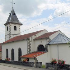
Église Saint-Quirin d'Ahéville
3.2 km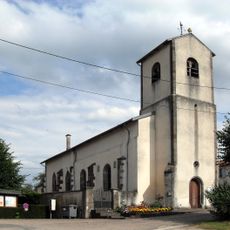
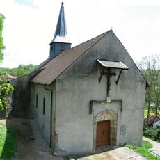
Église Saint-Pierre-aux-Liens de Mazirot
2.6 km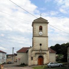
Église Saint-Dominique d'Avillers
2.2 km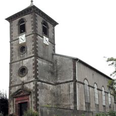
Église Saint-Menge de Villers
1.2 km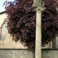
Croix de Villers
1.2 km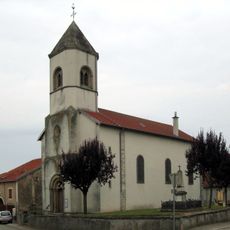
Église Saint-Didier de Vroville
2.8 km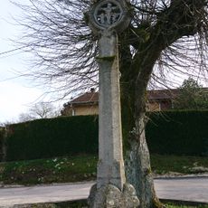
Croix de chemin de Mazirot
2.4 km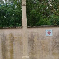
Croix de Vroville
2.8 km
War memorial, memorial
1.2 km
Gangajal
322 m
Wayside cross
1.2 km
Teardrop
561 m
Sculpture, Work of art
435 m
Work of art, sculpture
1.3 km
H₂O – Eau, source de vie
362 m
La Vouivre
335 m
Statue, memorial, Work of art
2.6 km
Water is live
680 m
Waterfall
2.7 km
Christianity, Catholic church building, wayside shrine
2.8 km
Action de grâce pour l’eau de source
261 m
Wayside cross
2.8 km
Wayside cross
2.8 km
La Source des 3 Fontaines
183 m
Wayside cross
3 km
Cascade du Haut du Fort
3.2 km
La Source
99 mReviews
Visited this place? Tap the stars to rate it and share your experience / photos with the community! Try now! You can cancel it anytime.
Discover hidden gems everywhere you go!
From secret cafés to breathtaking viewpoints, skip the crowded tourist spots and find places that match your style. Our app makes it easy with voice search, smart filtering, route optimization, and insider tips from travelers worldwide. Download now for the complete mobile experience.

A unique approach to discovering new places❞
— Le Figaro
All the places worth exploring❞
— France Info
A tailor-made excursion in just a few clicks❞
— 20 Minutes