Ma Montagne
Location: Pailherols
Inception: January 1, 2016
Creator: Camille Henrot
Made from material: steel
Creator: Camille Henrot
Website: https://camillehenrot.fr/fr/work/76/ma-montagne
GPS coordinates: 44.97335,2.69825
Latest update: November 14, 2025 12:35
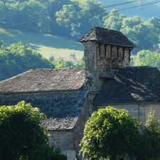
Église Notre-Dame-de-l'Assomption de Jou-sous-Monjou
4.7 km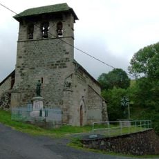
Église Saint-Clément (Saint-Clément, Cantal)
2.9 km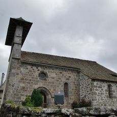
Église Saint-Julien de Lacapelle-Barrès
4.9 km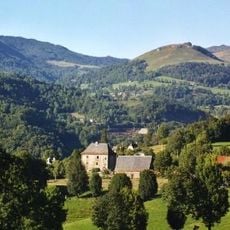
Château de Lasalle
4.6 km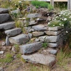
Hameau de Rissergues
4.7 km
Habitations du Puy de Bane
599 m
Cascade de la Roucolle
5 km
Scenic viewpoint
1.2 km
Toposcope, scenic viewpoint
1.2 km
Curebourse path
4.3 km
Ma Montagne
2.3 km
Ma Montagne
1.2 km
Ma Montagne
1.5 km
Ma Montagne
1.8 km
Pas de Cère
4.9 km
Ma Montagne
2.7 km
Ma Montagne
1.3 km
Ma Montagne
1.3 km
Ma Montagne
929 m
Lion's gate
4.3 km
Ma Montagne
688 m
Wayside cross
4.6 km
Croix
4.8 km
Wayside cross
2.8 km
Wayside cross
3.8 km
Waterfall
4.9 km
Cascade Lafon
4.6 km
Cascade du Capat
4.1 kmReviews
Visited this place? Tap the stars to rate it and share your experience / photos with the community! Try now! You can cancel it anytime.
Discover hidden gems everywhere you go!
From secret cafés to breathtaking viewpoints, skip the crowded tourist spots and find places that match your style. Our app makes it easy with voice search, smart filtering, route optimization, and insider tips from travelers worldwide. Download now for the complete mobile experience.

A unique approach to discovering new places❞
— Le Figaro
All the places worth exploring❞
— France Info
A tailor-made excursion in just a few clicks❞
— 20 Minutes