The Tree
Location: Riehen
Inception: January 1, 1966
Creator: Alexander Calder
Creator: Alexander Calder
GPS coordinates: 47.58694,7.64996
Latest update: November 20, 2025 16:29
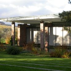
Beyeler Foundation
151 m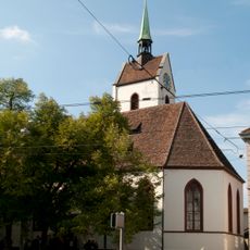
Riehen village church
265 m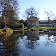
Sarasinpark
106 m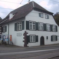
Spielzeugmuseum, Dorf- und Rebbaumuseum
317 m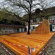
Toy Museum / village and Rebbaumuseum
317 m
Le Grandsche country estate with Sarasinpark
260 m
Klösterli
278 m
Early medieval slab grave
320 m
Medieval church buildings, graves, church castle, meierhof
256 m
Medieval settlement findings
213 m
Early medieval slab grave
262 m
Berowergut
61 m
Landwirtschaftliche Anlage
294 m
Neolithic settlement area
317 m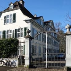
Iselin-Weber's country estate with garden
120 m
Meierhof
251 m
Old chancellery
250 m
Galerie Monfregola-Anderegg
131 m
Beyeler Art Editions
95 m
Kunstraum Riehen
70 m
White Curves
37 m
Snowman
54 m
Wasserspeier
62 m
Glocke
60 m
Vogelkäfige
65 m
Wetterfahne
270 m
Hase
246 m
Installation artwork, Work of art
61 mReviews
Visited this place? Tap the stars to rate it and share your experience / photos with the community! Try now! You can cancel it anytime.
Discover hidden gems everywhere you go!
From secret cafés to breathtaking viewpoints, skip the crowded tourist spots and find places that match your style. Our app makes it easy with voice search, smart filtering, route optimization, and insider tips from travelers worldwide. Download now for the complete mobile experience.

A unique approach to discovering new places❞
— Le Figaro
All the places worth exploring❞
— France Info
A tailor-made excursion in just a few clicks❞
— 20 Minutes