MährenFurt
Location: Recklinghausen
Inception: January 1, 2011
Creator: Reiner Kaufmann
Creator: Reiner Kaufmann
GPS coordinates: 51.56943,7.23300
Latest update: November 24, 2025 05:02
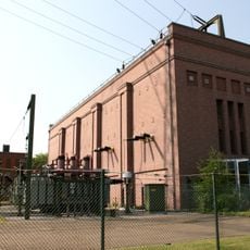
Recklinghausen substation
2 km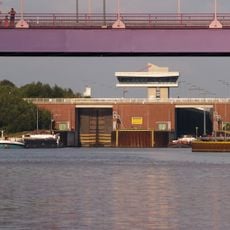
Schleuse Herne-Ost
815 m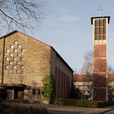
St. Barbara
1.7 km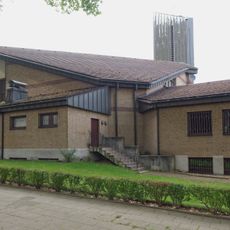
St. Joseph
2.1 km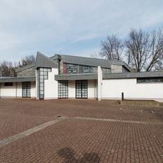
St. Pius
666 m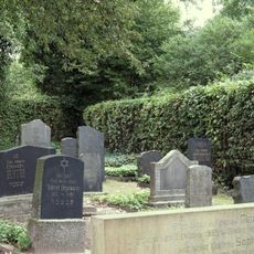
Jüdischer Friedhof
1.9 km
Südbad
782 m
LSG-Horsthausen
1.3 km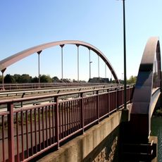
Brücke Pöppinghauser Straße
676 m
LSG-Emsring
1 km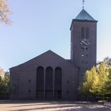
Antoniuskirche
1.1 km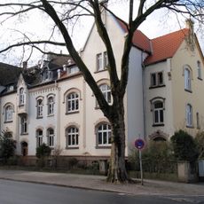
Wohnhausblock Roonstraße 47/49/51
2.1 km
Lutherkirche
1.4 km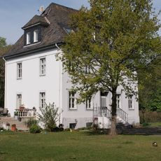
Bürogebäude des Wasser- und Schifffahrtsamtes
520 m
Ehem. Gerberei
2 km
Stadthafen
1.8 km
Diesellok und Grubenausbau
1.7 km
Seilscheibe
1.9 km
Herner Meer
1.6 km
Reemrenreh
1.4 km
König-Ludwig-Emscherland
1.7 km
AMC Castrop-Rauxel
1.7 km
Work of art, sculpture
967 m
Scenic viewpoint
1.7 km
Scenic viewpoint
1.6 km
Scenic viewpoint
1.8 km
Mahnmal für die Opfer von Krieg und Gewalt
1.3 km
Adolph Kolping
1.2 kmReviews
Visited this place? Tap the stars to rate it and share your experience / photos with the community! Try now! You can cancel it anytime.
Discover hidden gems everywhere you go!
From secret cafés to breathtaking viewpoints, skip the crowded tourist spots and find places that match your style. Our app makes it easy with voice search, smart filtering, route optimization, and insider tips from travelers worldwide. Download now for the complete mobile experience.

A unique approach to discovering new places❞
— Le Figaro
All the places worth exploring❞
— France Info
A tailor-made excursion in just a few clicks❞
— 20 Minutes