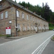
Keil
Location: Stelzenberg
Accessibility: Wheelchair inaccessible
GPS coordinates: 49.37583,7.72889
Latest update: July 20, 2025 15:57
Unterhammer
1.8 km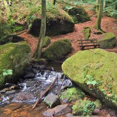
Waterway trail on the Moosalbe
2.9 km
Schloss Aschbacherhof
2.8 km
Aschbachtal-Jagdhausweiher
2 km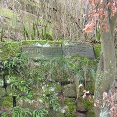
Ritterstein 125 "Eisenschmelze"
778 m
Nabenberg
1.9 km
Ritterstein 137 "Kath. dann Luth. Kirche"
2.9 km
Ritterstein 106 "Hochgericht 1767"
2.7 km
Schwallhübel
2.4 km
Scenic viewpoint
1.3 km
20 Jahre Partnerschaft
875 m
Scenic viewpoint
1.9 km
Memorial, commemorative plaque
1.6 km
Fisch Nummer 89: Für alle Kinder dieser Welt
1.3 km
Doppelkopf
2 km
Hinkelstein
2.1 km
Menihr
2.1 km
Memorial
2.2 km
Schneid'ger Kopfkarton
1.7 km
Echelles Himmelsleitern
2.5 km
Work of art
2.7 km
Historischer Backofen
845 m
Tor zum Biosphärenreservat
2.7 km
Work of art
2.8 km
Memorial
597 m
Akkumulator I
2.8 km
Werner Jörg Platz
422 m
Balzgeflüster
2.9 kmReviews
Visited this place? Tap the stars to rate it and share your experience / photos with the community! Try now! You can cancel it anytime.
Discover hidden gems everywhere you go!
From secret cafés to breathtaking viewpoints, skip the crowded tourist spots and find places that match your style. Our app makes it easy with voice search, smart filtering, route optimization, and insider tips from travelers worldwide. Download now for the complete mobile experience.

A unique approach to discovering new places❞
— Le Figaro
All the places worth exploring❞
— France Info
A tailor-made excursion in just a few clicks❞
— 20 Minutes