Bechener Esel
Location: Kürten
Inception: August 20, 1983
Creator: Heide Dobberkau
Accessibility: Wheelchair accessible
Creator: Heide Dobberkau
Operator: Karnevalsfreunde Bechen
GPS coordinates: 51.04052,7.20993
Latest update: July 20, 2025 15:57
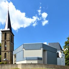
Sankt Antonius
128 m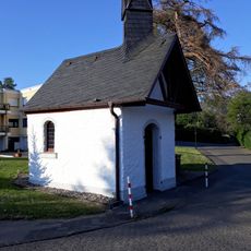
Maternuskapelle
659 m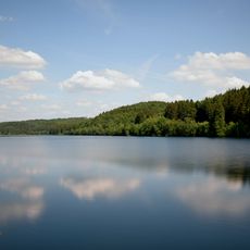
Große Dhünntalsperre
2 km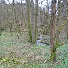
Scherfbachtal
1.3 km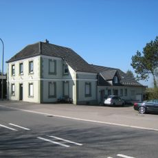
Schanze
1.9 km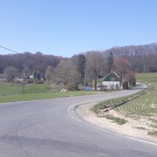
Durhaus
2 km
Holz
1.5 km
LSG-Oestliche Paffrather Kalkmulde um Duerscheid <temporaer>
1.4 km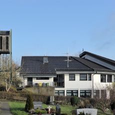
Versöhnungskirche (Kürten-Bechen)
175 m
Wayside cross
1.1 km
Wayside shrine
1.7 km
Scenic viewpoint
634 m
Wayside cross
466 m
Scenic viewpoint
434 m
Fahrrad
155 m
Wayside cross
144 m
Wayside shrine
128 m
Wayside cross
1.7 km
Wegkreuz von 1873
542 m
Wayside shrine
114 m
Scenic viewpoint
1.9 km
Wayside cross
1.9 km
Wayside cross
107 m
Scenic viewpoint
2 km
Archaeological site
2 km
Wayside shrine, Christianity
2 km
Aussichtspunkt bei Funkmast
2 km
Wayside cross
105 mReviews
Visited this place? Tap the stars to rate it and share your experience / photos with the community! Try now! You can cancel it anytime.
Discover hidden gems everywhere you go!
From secret cafés to breathtaking viewpoints, skip the crowded tourist spots and find places that match your style. Our app makes it easy with voice search, smart filtering, route optimization, and insider tips from travelers worldwide. Download now for the complete mobile experience.

A unique approach to discovering new places❞
— Le Figaro
All the places worth exploring❞
— France Info
A tailor-made excursion in just a few clicks❞
— 20 Minutes