Steinfahrrad
Location: Neudrossenfeld
Accessibility: Accessibile in sedia a rotelle
Made from material: stone
GPS coordinates: 50.00716,11.48925
Latest update: November 24, 2025 02:56

LSG Unteres Rotmaintal im Gebiet der Landkreise Bayreuth und Kulmbach sowie der Stadt Bayreuth
1.2 km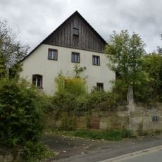
Wohnhaus
786 m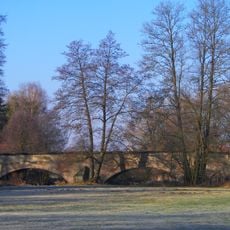
Brücke
955 m
Brücke Bayreuther Straße in Neudrossenfeld
1 km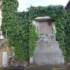
Kriegerdenkmal für die Gefallenen von 1870/71
1.4 km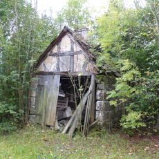
Backhaus
861 m
Schloss
1.3 km
Tor Burgstraße; Friedhofsweg; Friedhofsweg 1 in Neudrossenfeld
1.4 km
Brauerei
1.4 km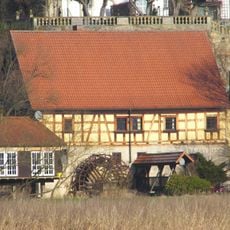
Mühle
1.3 km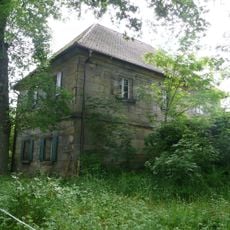
Cultural heritage D-4-77-142-21 in Neudrossenfeld
752 m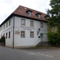
Gasthaus
741 m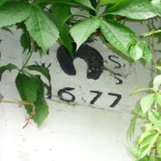
Baudenkmal
772 m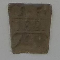
Baudenkmal
1.2 km
Cultural heritage D-4-77-142-47 in Neudrossenfeld
331 m
Kommunbrauhaus
1.1 km
Schloss Am Brumberg in Neudrossenfeld
1.3 km
Cultural heritage D-4-5935-0019 in Neudrossenfeld
1.3 km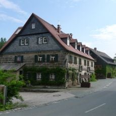
Ehemalige Mühle
878 m
Jagdschloss
1.3 km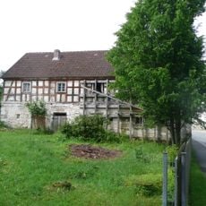
Bauernhaus
834 m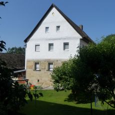
Cultural heritage D-4-77-142-7 in Neudrossenfeld
1.3 km
Nebengebäude Altdrossenfeld 6 in Neudrossenfeld
778 m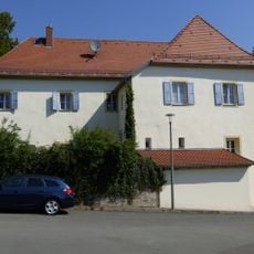
Pfarrhaus
1.3 km
Scheune Altdrossenfeld 2 a in Neudrossenfeld
900 m
Terrassengarten Schloßplatz 2 in Neudrossenfeld
1.3 km
Einfriedung Altdrossenfeld 6 in Neudrossenfeld
753 m
Mühlgraben Altdrossenfeld 1 in Neudrossenfeld
875 mReviews
Visited this place? Tap the stars to rate it and share your experience / photos with the community! Try now! You can cancel it anytime.
Discover hidden gems everywhere you go!
From secret cafés to breathtaking viewpoints, skip the crowded tourist spots and find places that match your style. Our app makes it easy with voice search, smart filtering, route optimization, and insider tips from travelers worldwide. Download now for the complete mobile experience.

A unique approach to discovering new places❞
— Le Figaro
All the places worth exploring❞
— France Info
A tailor-made excursion in just a few clicks❞
— 20 Minutes