Pankratiusbrunnen
Location: Roding
Accessibility: Acessível para cadeira de rodas
GPS coordinates: 49.19649,12.51741
Latest update: October 28, 2025 10:56
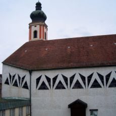
St. Pankratius
15 m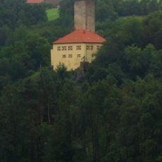
Burg Regenpeilstein
2.3 km
Josephi- und Anna-Kapelle Roding
21 m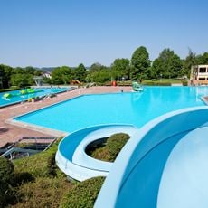
Freibad Platschare Roding
1.1 km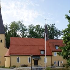
Christuskirche
404 m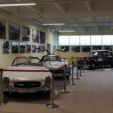
Dream Garage Roding
1.4 km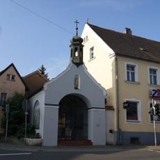
Sebastianikapelle
164 m
Gedenkstein Regensburger Straße 1 in Roding
160 m
Ehemaliges Bezirksamt, vormals Meierhof
202 m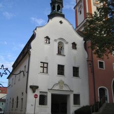
Rathaus
17 m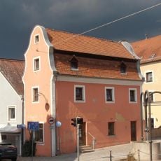
Roding Oberer Markt 2
132 m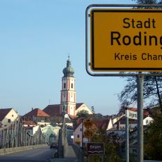
'''Ensemble Marktplatz und Brückenkopf'''
1.8 km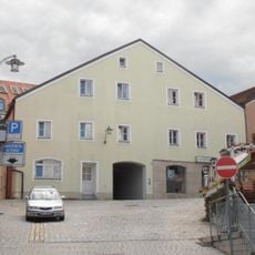
Bürgerhaus
68 m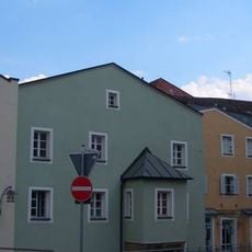
Wohnhaus
85 m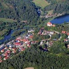
Chamb, Regentalaue und Regen zwischen Roding und Donaumündung
2.4 km
Altes Rathaus mit Pranger
31 m
Wehrmauer mit Turm
90 m
Kneipp-Anlage am Heilbrünnl
1.8 km
Industriedenkmal Kalksandsteinwerk
2 km
Brunnen
104 m
Pankratiussäule
41 m
Stadtsilhouette und Regenfluss
134 m
Naturpark Oberer Bayerischer Wald
1.7 km
Regental
734 m
Rokoko-Kirche
1.8 km
Ehrenmal
796 m
König-Ludwig-Kreuz
237 m
Heiliger Nepomuk
279 mReviews
Visited this place? Tap the stars to rate it and share your experience / photos with the community! Try now! You can cancel it anytime.
Discover hidden gems everywhere you go!
From secret cafés to breathtaking viewpoints, skip the crowded tourist spots and find places that match your style. Our app makes it easy with voice search, smart filtering, route optimization, and insider tips from travelers worldwide. Download now for the complete mobile experience.

A unique approach to discovering new places❞
— Le Figaro
All the places worth exploring❞
— France Info
A tailor-made excursion in just a few clicks❞
— 20 Minutes