Buttenträger
Location: Alzey
Creator: Florian Geyer
Creator: Florian Geyer
GPS coordinates: 49.74875,8.08416
Latest update: November 20, 2025 05:32

Museum der Stadt Alzey
2 km
Brunnen Weinheim
1.4 km
Kloster Himmelgarten
1.9 km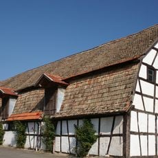
Scheune Heimersheim
1.7 km
Rathaus Heimersheim
1.7 km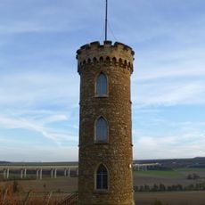
Heiligenblut-Tower
1.4 km
Tourist Information Alzeyer Land
2 km
Augustinereremitenkloster St. Peter, Alzey
2 km
Zisterzienserinnenkloster Himmelgarten, Alzey
1.8 km
Kapelle zum Heiligen Blut
1.5 km
Traubenträgerin
360 m
Wetterfahne
612 m
Traube
1 km
Geminsam sind wir stark
1.1 km
Geologische Fundstätte
933 m
Hund
1 km
Kommen und Gehen
1.4 km
Ruhe
956 m
Schnecke
678 m
Schnatz vom Kronenplatz
2 km
Würfelstele
405 m
Stele
482 m
Weinbergsengel
523 m
Wandergruppe
1.2 km
Weinbergsturm Heimersheim
588 m
Weinheimer Trift
1.3 km
Weinkirche
1.3 km
Alte Synagoge
1.9 kmReviews
Visited this place? Tap the stars to rate it and share your experience / photos with the community! Try now! You can cancel it anytime.
Discover hidden gems everywhere you go!
From secret cafés to breathtaking viewpoints, skip the crowded tourist spots and find places that match your style. Our app makes it easy with voice search, smart filtering, route optimization, and insider tips from travelers worldwide. Download now for the complete mobile experience.

A unique approach to discovering new places❞
— Le Figaro
All the places worth exploring❞
— France Info
A tailor-made excursion in just a few clicks❞
— 20 Minutes