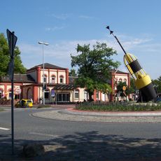
Tonne
Location: Leer (Ostfriesland)
GPS coordinates: 53.23152,7.46415
Latest update: November 19, 2025 04:25
Leer railway station
88 m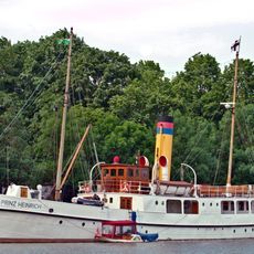
Prinz Heinrich
700 m
Ubbo-Emmius-Gymnasium
908 m
Amtsgericht Leer
758 m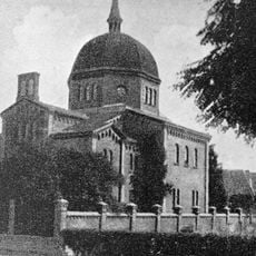
Synagogues in Leer
793 m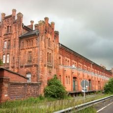
Zollhaus
93 m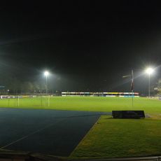
Hoheellern-Stadion
763 m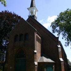
Christuskirche (Leer)
152 m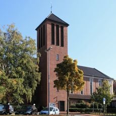
St. Mary
644 m
Kunsthaus Leer
632 m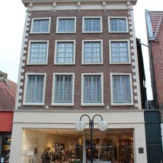
Glasekasten
719 m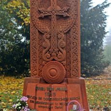
Khatchkar
547 m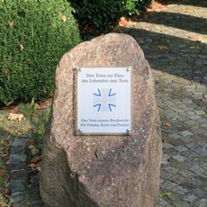
Ehrenmal der Bundeswehr
786 m
Bünting tea museum
905 m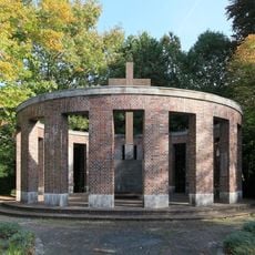
Kriegerdenkmal Heisfelder Straße
779 m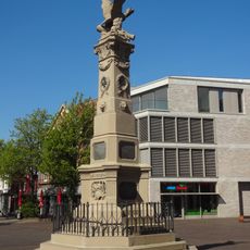
Gefallenendenkmal Denkmalplatz
359 m
Ledastraße 23
334 m
Dampfschiff "Prinz Heinrich"
700 m
Zollhaus Theater 2 OG
64 m
Kaffeerösterei Baum
685 m
Teelke
872 m
Georg Wilms
745 m
Hafenpromenade
751 m
Hafenpromenade
649 m
Denkmal
357 m
Gedenktafel Synagoge
796 m
Kreuzstein
564 m
Liesel Aussen
35 mReviews
Visited this place? Tap the stars to rate it and share your experience / photos with the community! Try now! You can cancel it anytime.
Discover hidden gems everywhere you go!
From secret cafés to breathtaking viewpoints, skip the crowded tourist spots and find places that match your style. Our app makes it easy with voice search, smart filtering, route optimization, and insider tips from travelers worldwide. Download now for the complete mobile experience.

A unique approach to discovering new places❞
— Le Figaro
All the places worth exploring❞
— France Info
A tailor-made excursion in just a few clicks❞
— 20 Minutes