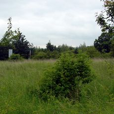
Der Fluss
Location: Bad Münder am Deister
GPS coordinates: 52.19850,9.46703
Latest update: November 23, 2025 21:46
St.-Annen-Kirche
939 m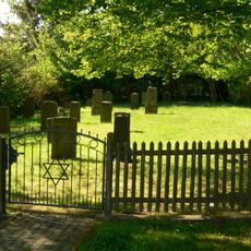
Jüdischer Friedhof Bad Münder
353 m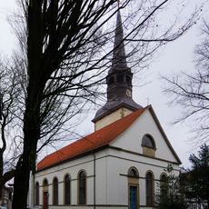
St. Petri und Pauli
391 m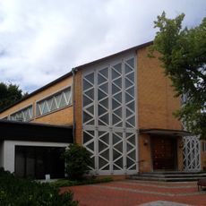
St. Johannes Baptist
670 m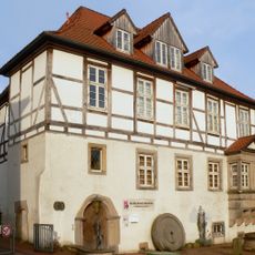
Wettbergscher Adelshof
245 m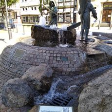
Söltjerbrunnen
266 m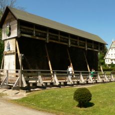
Gradierwerk Bad Münder am Deister
336 m
Stolperstein dedicated to Frieda Hammerschlag
386 m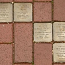
Stolperstein dedicated to Hedwig Chana Herze
386 m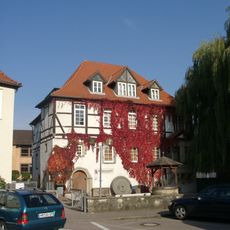
Museum im Wettbergschen Adelshof
274 m
Stolperstein dedicated to Ingrid Friedheim
386 m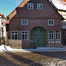
Bürgerhaus von 1752
274 m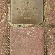
Stolperstein dedicated to Helene Ney
404 m
Stolperstein dedicated to Eugen Herze
386 m
Stolperstein dedicated to Sophie Friedheim
386 m
Stolperstein dedicated to Hermann Friedheim
386 m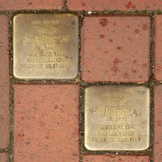
Stolperstein dedicated to Henny Hammerschlag
386 m
Glasskulptur
586 m
Rohmelbad
600 m
Bühne im Kurgarten
221 m
Golfclub am Deister
1.3 km
Antiphon
199 m
Wegbegleiterinnen
108 m
Bench, scenic viewpoint
1.5 km
Scenic viewpoint
1.5 km
Peststein
329 m
Memorial, war memorial
574 m
Friedrich Lehnhoff
224 mReviews
Visited this place? Tap the stars to rate it and share your experience / photos with the community! Try now! You can cancel it anytime.
Discover hidden gems everywhere you go!
From secret cafés to breathtaking viewpoints, skip the crowded tourist spots and find places that match your style. Our app makes it easy with voice search, smart filtering, route optimization, and insider tips from travelers worldwide. Download now for the complete mobile experience.

A unique approach to discovering new places❞
— Le Figaro
All the places worth exploring❞
— France Info
A tailor-made excursion in just a few clicks❞
— 20 Minutes