Blindenhund
Location: Nieder-Olm
Inception: January 1, 2016
Creator: Liesel Metten
Creator: Liesel Metten
GPS coordinates: 49.90925,8.19991
Latest update: November 23, 2025 08:52

Jüdischer Friedhof Am Woog (Nieder-Olm)
141 m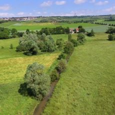
Am Laurenzihof
2.3 km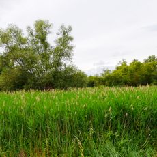
In der Au
1.7 km
Jüdischer Friedhof (Sörgenloch)
2.7 km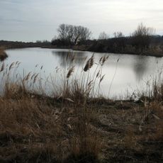
Der Hohenberg
2.1 km
Waeldchen im Loh
1.7 km
Selztal zwischen Hahnheim und Ingelheim
342 m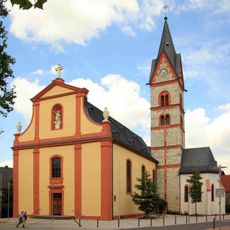
Katholische Pfarrkirche St. Georg
206 m
Nieder-Olm (Samian Ware Discovery Site)
1.1 km
Schneckenspur
299 m
Wayside cross
145 m
Gänseliesel
365 m
Schafherde mit Schäfer
108 m
Rudi Klos - Fotograf
5 m
Wasservögel
211 m
Rheinhessen-Tor
206 m
Nieder-Olm
160 m
Wayside cross
1.7 km
Brezelfresser
151 m
Hausmadonna
609 m
Wayside shrine
1.9 km
Catholic church building, wayside shrine, Christianity
134 m
Catholic church building, wayside cross, Christianity
1.6 km
Catholic church building, wayside cross, Christianity
208 m
Anna Nachmann geb. Neumann
238 m
Franziska Nachmann geb. Mayer
237 m
Josef Nachmann
237 m
Vergangen
514 mReviews
Visited this place? Tap the stars to rate it and share your experience / photos with the community! Try now! You can cancel it anytime.
Discover hidden gems everywhere you go!
From secret cafés to breathtaking viewpoints, skip the crowded tourist spots and find places that match your style. Our app makes it easy with voice search, smart filtering, route optimization, and insider tips from travelers worldwide. Download now for the complete mobile experience.

A unique approach to discovering new places❞
— Le Figaro
All the places worth exploring❞
— France Info
A tailor-made excursion in just a few clicks❞
— 20 Minutes