A is for Anarchy
Location: Düren
Made from material: stone
GPS coordinates: 50.78855,6.43722
Latest update: November 19, 2025 19:55
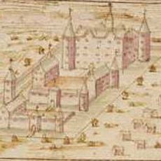
Burg Gürzenich
371 m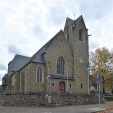
St Martin's Church
1.2 km
Schillingspark
726 m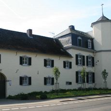
Weiherhof
554 m
Saint John the Evangelist Church
941 m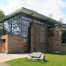
Church ruin
1.2 km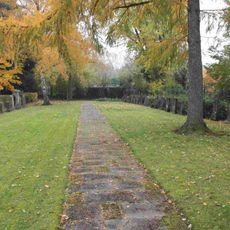
Gürzenich Jewish cemetery
240 m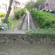
Trierbach
806 m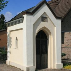
Urbanuskapelle
1.2 km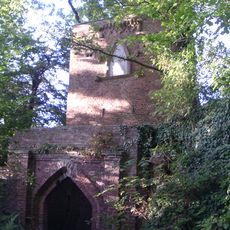
Mona-Lisa tower
783 m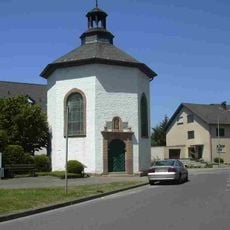
Katholische Kapelle
255 m
Gürzenich Catholic cemetery
920 m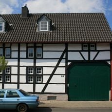
Agathastraße 92
1.2 km
Agathastraße 40
1.2 km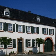
Schillingsstraße 52 und 54
1.2 km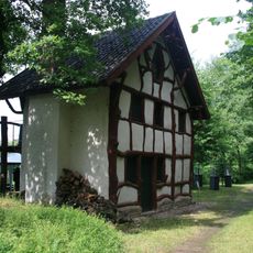
Fischerhäuschen im Schillingspark
876 m
Kreuders Hof
398 m
Schillingsstraße 329 (Gürzenich)
543 m
Schillingsstraße 333 und 335 (Gürzenich)
651 m
Schillingsstraße 106
818 m
Wegekreuz Dampfmühlenstraße
1.3 km
Schillingsstraße 205
289 m
Wegekreuz Schillingsstraße
599 m
Golfclub Düren e.V.
861 m
Golfclub Düren e.V.
983 m
Wayside shrine
493 m
Memorial, stele
417 m
Wayside cross
1.1 kmReviews
Visited this place? Tap the stars to rate it and share your experience / photos with the community! Try now! You can cancel it anytime.
Discover hidden gems everywhere you go!
From secret cafés to breathtaking viewpoints, skip the crowded tourist spots and find places that match your style. Our app makes it easy with voice search, smart filtering, route optimization, and insider tips from travelers worldwide. Download now for the complete mobile experience.

A unique approach to discovering new places❞
— Le Figaro
All the places worth exploring❞
— France Info
A tailor-made excursion in just a few clicks❞
— 20 Minutes