Adolph Kolping
Location: Teisendorf
Inception: January 1, 2007
GPS coordinates: 47.84549,12.83624
Latest update: November 13, 2025 15:37
St. Anna
74 m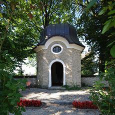
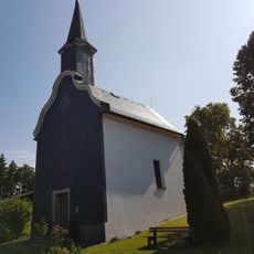
Kriegergedächtniskapelle St. Michael
996 m
Villa Nähe Marktstraße in Teisendorf
999 m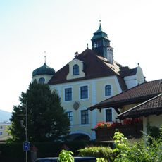
Villa Wieninger
1 km
Friedhof Bahnhofstraße 7 in Teisendorf
873 m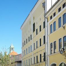
Ehemals fürstbischöfliches Gast- und Bräuhaus, sogenanntes Hofbräuhaus Teisendorf dann Wieninger
1 km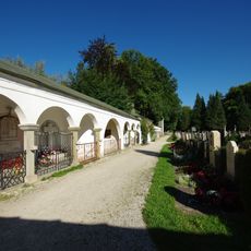
Friedhof Teisendorf
965 m
Villa Marktstraße 1 in Teisendorf
994 m
Cultural heritage D-1-8143-0260 in Teisendorf
7 m
Sudhaus Poststraße 1 in Teisendorf
1 km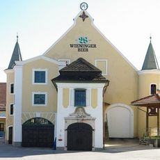
Kellerbau der Brauerei Wieninger
983 m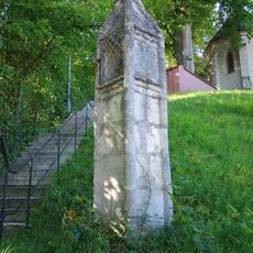
Pfeilerbildstock, sogenannte Totenleuchte
857 m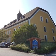
Dechantshof
36 m
Bildstock
836 m
Wasserturm Poststraße 2 in Teisendorf
1 km
Feldkapelle
276 m
Bildstock Viaduktweg 10 in Teisendorf
1 km
Mahl- und ehemalige Sägemühle, sogenannt beim Maier
641 m
Ehemaliges Malzhaus der Brauerei
1 km
Stall Alte Reichenhaller Straße 3 in Teisendorf
991 m
Wohnhaus
849 m
Wohnteil des ehemaligen Bauernhofs, sogenannt beim Süßen bzw. Österer
990 m
Bildstock
788 m
Geopark Eichelgarten
667 m
Work of art
23 m
Zum hl. Haupt
608 m
Christianity, Catholic church building, wayside cross
934 m
Wayside cross
170 mReviews
Visited this place? Tap the stars to rate it and share your experience / photos with the community! Try now! You can cancel it anytime.
Discover hidden gems everywhere you go!
From secret cafés to breathtaking viewpoints, skip the crowded tourist spots and find places that match your style. Our app makes it easy with voice search, smart filtering, route optimization, and insider tips from travelers worldwide. Download now for the complete mobile experience.

A unique approach to discovering new places❞
— Le Figaro
All the places worth exploring❞
— France Info
A tailor-made excursion in just a few clicks❞
— 20 Minutes