Oberhalb / Unterhalb
Location: Stadtbezirk Bonn
Location: Bonn
Inception: January 1, 2007
Creator: Petra Siering
Made from material: weathering_steel
Creator: Petra Siering
GPS coordinates: 50.72295,7.09584
Latest update: November 22, 2025 12:01
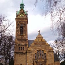
Lutherkirche
18 m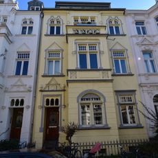
Kurfürstenstraße 28
100 m
Kurfürstenstraße 11
77 m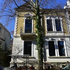
Kurfürstenstraße 13
84 m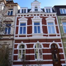
Kurfürstenstraße 14
54 m
Jagdweg 3
108 m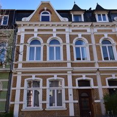
Kurfürstenstraße 10
49 m
Kurfürstenstraße 17
98 m
Kurfürstenstraße 5
72 m
Kurfürstenstraße 19
105 m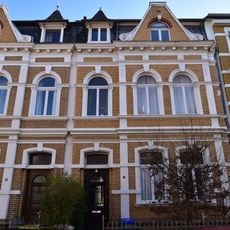
Kurfürstenstraße 8
48 m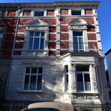
Kurfürstenstraße 7
72 m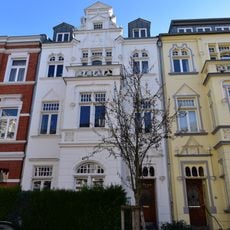
Kurfürstenstraße 28a
107 m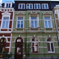
Kurfürstenstraße 12
51 m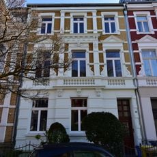
Kurfürstenstraße 6
48 m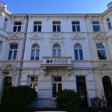
Kurfürstenstraße 24
80 m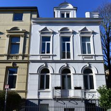
Kurfürstenstraße 3
76 m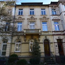
Kurfürstenstraße 18
62 m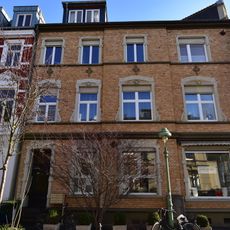
Kurfürstenstraße 2
52 m
Jagdweg 2
99 m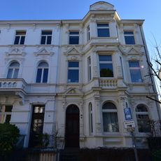
Kurfürstenstraße 22
80 m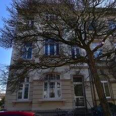
Kurfürstenstraße 20
68 m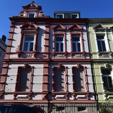
Kurfürstenstraße 9
74 m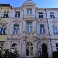
Kurfürstenstraße 26
93 m
Jagdweg 1a
97 m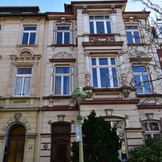
Kurfürstenstraße 16
58 m
Jagdweg 2a
99 m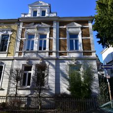
Kurfürstenstraße 15
89 mReviews
Visited this place? Tap the stars to rate it and share your experience / photos with the community! Try now! You can cancel it anytime.
Discover hidden gems everywhere you go!
From secret cafés to breathtaking viewpoints, skip the crowded tourist spots and find places that match your style. Our app makes it easy with voice search, smart filtering, route optimization, and insider tips from travelers worldwide. Download now for the complete mobile experience.

A unique approach to discovering new places❞
— Le Figaro
All the places worth exploring❞
— France Info
A tailor-made excursion in just a few clicks❞
— 20 Minutes