Der Fischer un sin Fru
Location: Solingen
Creator: Max Kratz
Creator: Max Kratz
GPS coordinates: 51.18422,7.04489
Latest update: November 23, 2025 08:29
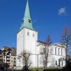
Protestant Church (Wald, Solingen)
253 m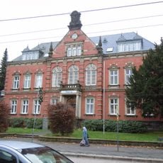
Rathaus Wald
145 m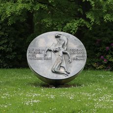
Walder Stadtpark
165 m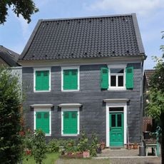
Alte Straße 11
195 m
Tomb
240 m
Tomb
233 m
Evangelische Kindertagesstätte Rafael Straße 1865-2005
247 m
Wilhelm Ern
24 m
Uranus Platte
138 m
Saturn Platte
168 m
Pfad des Solarsystems
260 m
Mahnmal des Walder Heimat Vereins
129 m
Tomb
256 m
Tomb
248 m
Walder Bühne
83 m
Schleifer
227 m
Tomb
224 m
Tomb
217 m
Tomb
212 m
Tomb
204 m
Tomb
189 m
Tomb
163 m
Tomb
176 m
Tomb
140 m
Tomb
121 m
Tomb
154 m
Tomb
194 m
Tomb
152 mReviews
Visited this place? Tap the stars to rate it and share your experience / photos with the community! Try now! You can cancel it anytime.
Discover hidden gems everywhere you go!
From secret cafés to breathtaking viewpoints, skip the crowded tourist spots and find places that match your style. Our app makes it easy with voice search, smart filtering, route optimization, and insider tips from travelers worldwide. Download now for the complete mobile experience.

A unique approach to discovering new places❞
— Le Figaro
All the places worth exploring❞
— France Info
A tailor-made excursion in just a few clicks❞
— 20 Minutes