Spielstäbe
Location: Nord
Location: Mönchengladbach
Inception: January 1, 1977
Creator: Paul Rütten
Made from material: galvanized iron
Creator: Paul Rütten
GPS coordinates: 51.20100,6.39606
Latest update: November 21, 2025 18:39
St. Peter
1.2 km
Immaculate Conception Church
557 m
Roermonder Straße 279
422 m
Nicodemstraße 10-12
1.2 km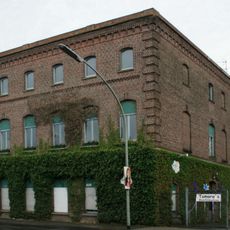
Roermonder Straße 217
639 m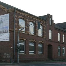
Moosheide 109
586 m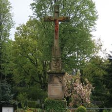
Hochkreuz Hardt-Venn
844 m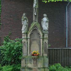
Hochkreuz
604 m
Speicker Straße 3
1.2 km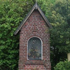
Bildstock Großheide/Kampsheide
1.3 km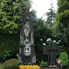
Priestergrabstätte Hardt-Venn
830 m
Ehemaliges Kutscherhaus
422 m
Untere Straße 131–135
1 km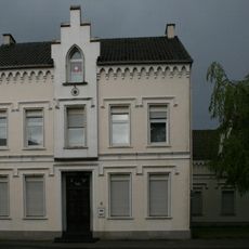
Mürringerstraße 6
589 m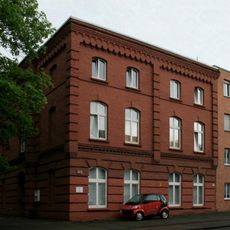
Roermonder Straße 245
531 m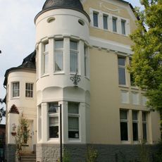
Bleichgrabenstraße 15
1.3 km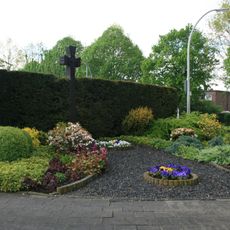
Kriegergedenkstätte
878 m
Hamern
121 m
Hamern
590 m
Spielstäbe
14 m
Relief 27 A
831 m
Sitzendes Mädchen
848 m
Wayside cross, Christianity
603 m
Memorial, war memorial
157 m
Am Hamer Krüz
153 m
Christianity, wayside shrine
588 m
Christianity, wayside cross
1.2 km
Wayside cross, Christianity
558 mReviews
Visited this place? Tap the stars to rate it and share your experience / photos with the community! Try now! You can cancel it anytime.
Discover hidden gems everywhere you go!
From secret cafés to breathtaking viewpoints, skip the crowded tourist spots and find places that match your style. Our app makes it easy with voice search, smart filtering, route optimization, and insider tips from travelers worldwide. Download now for the complete mobile experience.

A unique approach to discovering new places❞
— Le Figaro
All the places worth exploring❞
— France Info
A tailor-made excursion in just a few clicks❞
— 20 Minutes