Deckenbild
Location: West
Location: Mönchengladbach
Inception: January 1, 1976
Creator: Jonas Hafner
Made from material: polyester
Creator: Jonas Hafner
GPS coordinates: 51.16495,6.38260
Latest update: November 21, 2025 22:38
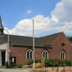
St. Johannes
1.7 km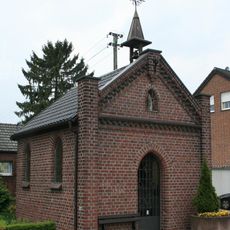
Kapelle St. Josef
319 m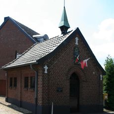
Kapelle Genhülsen
1.4 km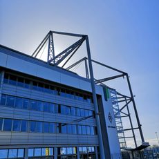
FohlenWelt
1.2 km
Aachener Straße 649
1.7 km
Rheindahlener Straße 136
1.5 km
Pongser Straße 291
1.7 km
Feuchtgebiet Nordpark
687 m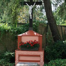
Wegekreuz Gerkerather Mühle
1.7 km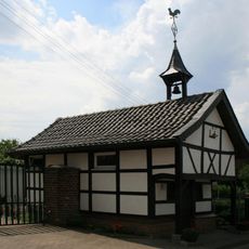
Zum hl. Antonius von Padua und Rochus
799 m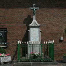
Wegekreuz Kothausen
623 m
Siepensteg 28
1.5 km
Kothausen 12
893 m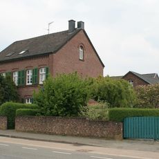
Wolfsittard 110
1.3 km
Stadtwaldstraße 349
1.7 km
Viehstraße 39
588 m
LSG-Stadtwald Rheydt
1.6 km
Viehstrasse
522 m
LSG-Viehstrasse
665 m
Nachbarschaft Grotherather Berg
1.6 km
Die Borussen Raute
1.2 km
Memorial
867 m
Memorial, war memorial
1.4 km
Memorial
838 m
Memorial cross, memorial
1.7 km
Memorial, commemorative plaque
1.6 km
Memorial
441 m
Wayside cross
1.1 kmReviews
Visited this place? Tap the stars to rate it and share your experience / photos with the community! Try now! You can cancel it anytime.
Discover hidden gems everywhere you go!
From secret cafés to breathtaking viewpoints, skip the crowded tourist spots and find places that match your style. Our app makes it easy with voice search, smart filtering, route optimization, and insider tips from travelers worldwide. Download now for the complete mobile experience.

A unique approach to discovering new places❞
— Le Figaro
All the places worth exploring❞
— France Info
A tailor-made excursion in just a few clicks❞
— 20 Minutes