Der Regenbogen
Location: Butjadingen
Made from material: steel
GPS coordinates: 53.52121,8.23782
Latest update: November 20, 2025 19:02
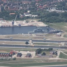
Wilhelmshaven lock
5.3 km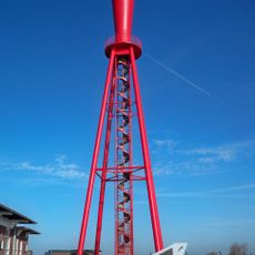
Eckwarden rear range light
354 m
Flakbatterie Kilwa
5.6 km
Waddensea of Lower Saxony Biosphere Reserve
2.2 km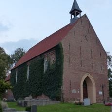
St.-Lamberti-Kirche
2.5 km
Fort Stollhammerdeich
3.7 km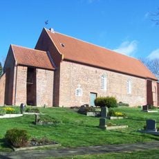
St.-Bartholomäus-Kirche
5.6 km
Tossens range rear
2.8 km
Strand Eckwarderhörne
410 m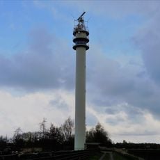
Tossens radar tower
5.6 km
Johanniterkommende Roddens
4 km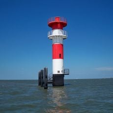
Jappensand range front
3.1 km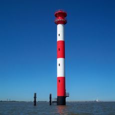
Jappensand range rear
3.2 km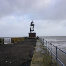
Molenfeuer Dritte Einfahrt
4.9 km
Östlicher Skulpturenpfad 5
5.5 km
Die Taube
2.8 km
Rüstringer Berg
5.8 km
Scenic viewpoint
701 m
Scenic viewpoint
5.7 km
Namenstafel Wilhelmshaven
5.5 km
Leuchtfeuer Alte Mole
4.9 km
Denkmal WK I
5.6 km
Ruins
5 km
Ruins
5.3 km
Ruins
5.6 km
Ruins
5.7 km
Anker
5.8 km
Kriegerdenkmal
2.6 kmReviews
Visited this place? Tap the stars to rate it and share your experience / photos with the community! Try now! You can cancel it anytime.
Discover hidden gems everywhere you go!
From secret cafés to breathtaking viewpoints, skip the crowded tourist spots and find places that match your style. Our app makes it easy with voice search, smart filtering, route optimization, and insider tips from travelers worldwide. Download now for the complete mobile experience.

A unique approach to discovering new places❞
— Le Figaro
All the places worth exploring❞
— France Info
A tailor-made excursion in just a few clicks❞
— 20 Minutes