Székelykapu rovás felirattal
Location: Zamárdi
Inception: January 1, 1932
GPS coordinates: 46.88259,17.94558
Latest update: July 20, 2025 17:58
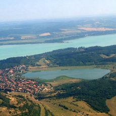
Tihanyi-szoros
3.5 km
Vadállatok
2.1 km
Scenic viewpoint
3.5 km
Segítő Szűzanya-Szobor
417 m
Margó Ede
452 m
Bohóc
2.1 km
Balaton szíve
521 m
Klapka utcai szabadstrand
1 km
Eselstein
1.2 km
T-Beach Szabadstrand
1.4 km
Kő-hegyi kilátó park
1.6 km
Szív-kő
1.6 km
Balaton-Zamárd Emlékkereszt
1.7 km
A magyar fájdalom
237 m
Filmesek Fala
90 m
Nepomuki Szent János
514 m
Richter Flórián Cirkusz Park & Resort
2.1 km
Lovak
2.2 km
Zebrák és Pónik
2.2 km
Teve
2.2 km
Baby Teve
2.2 km
Elefánt
2.2 km
Balaland Familypark
3 km
Scenic viewpoint
3.3 km
Richter Vidámpark
2.1 km
Mária-oltár
70 m
Scenic viewpoint
3.6 km
Scenic viewpoint
3.9 kmReviews
Visited this place? Tap the stars to rate it and share your experience / photos with the community! Try now! You can cancel it anytime.
Discover hidden gems everywhere you go!
From secret cafés to breathtaking viewpoints, skip the crowded tourist spots and find places that match your style. Our app makes it easy with voice search, smart filtering, route optimization, and insider tips from travelers worldwide. Download now for the complete mobile experience.

A unique approach to discovering new places❞
— Le Figaro
All the places worth exploring❞
— France Info
A tailor-made excursion in just a few clicks❞
— 20 Minutes