
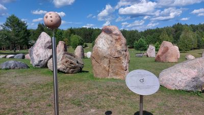
Marsas
Location: Čiulėnų seniūnija
Made from material: stone
GPS coordinates: 55.31583,25.55573
Latest update: October 26, 2025 00:36
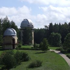
Molėtai Astronomical Observatory
482 m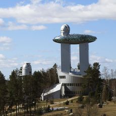
Lithuanian Museum of Ethnocosmology
65 m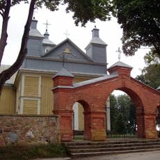
Church of the Discovery of the Holy Cross in Suginčiai
3.1 km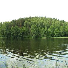
Kulionys hillfort
335 m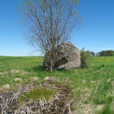
Mindučių akmuo
8 km
Suginčių piliakalnis
4.3 km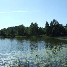
Želvos hillfort
712 m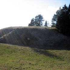
Vorėnai hillfort
5.8 km
Malkėsto piliakalnis
7.8 km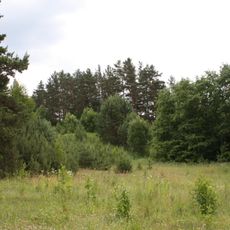
Čiulėnai hillfort
3.7 km
Pelenių piliakalnis
8.1 km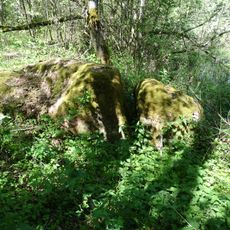
Levaniškių akmuo
8.7 km
Kulioniai Landscape Reserve
2 km
Sližiškių piliakalnis
7 km
Antatiškių akmuo
8.8 km
Antaraisčių piliakalnis
7 km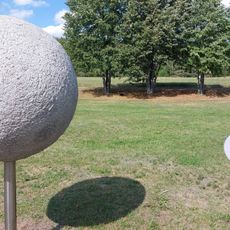
Uranas
95 m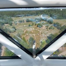
Lietuvos saulė
21 m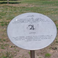
Jupiteris
69 m
Etnografinė sodyba ir dangaus šviesulių stebykla
651 m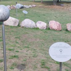
Venera
27 m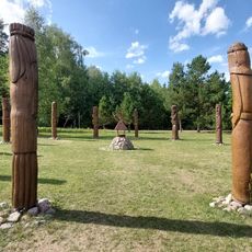
Dvylika mėnesių
92 m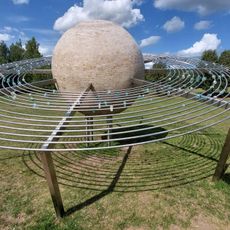
Saturnas
68 m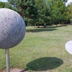
Neptunas
87 m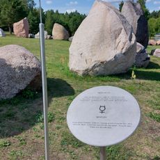
Merkurijus
51 m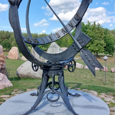
Clock tower, turret clock, clock, sundial
22 m
Vitkų šeimos koplyčia
8.5 km
Scenic viewpoint
565 mReviews
Visited this place? Tap the stars to rate it and share your experience / photos with the community! Try now! You can cancel it anytime.
Discover hidden gems everywhere you go!
From secret cafés to breathtaking viewpoints, skip the crowded tourist spots and find places that match your style. Our app makes it easy with voice search, smart filtering, route optimization, and insider tips from travelers worldwide. Download now for the complete mobile experience.

A unique approach to discovering new places❞
— Le Figaro
All the places worth exploring❞
— France Info
A tailor-made excursion in just a few clicks❞
— 20 Minutes