Virbaliūnų senovės gyvenvietė
Location: Batniavos seniūnija
Made from material: metal
GPS coordinates: 54.95867,23.61785
Latest update: November 3, 2025 12:52
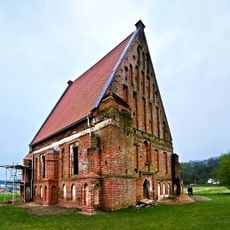
Old Church of St. John the Baptist, Zapyškis
4.1 km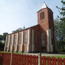
New Church of St. John the Baptist, Zapyškis
4.1 km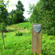
Altoniškiai hillfort
1.1 km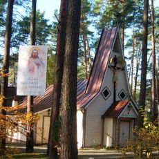
Church of the Holy Name of the Virgin Mary, Kulautuva
2.5 km
Jadagoniai hillfort
4.8 km
Church of St. Barbara, Paštuva
2.9 km
Nerėpa Entomological Reserve
2.3 km
Karklė Ichthyological Reserve
4.6 km
Jadagoniai chapel
3.7 km
Batniavos tvenkinys
4.8 km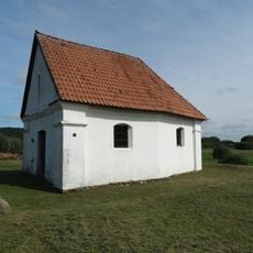
Cemetery chapel, Zapyškis
4.8 km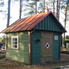
Paštuva cemetery chapel
2.8 km
Kriemalos kapinynas
3.4 km
Rupunionių kapinynas
1.8 km
Altoniškių tvenkinys
1.9 km
Judrės tvenkinys
3.4 km
Pagonijos uola
4.5 km
Kulautuvos pėsčiųjų-sveikatingumo takas I
2.5 km
Dock7 Kulautuva vandenlenčių parkas
3.3 km
Paštuvos piliakalnis
4.2 km
Pagonijos voratinklis
4.4 km
Švč. Mergelės Marijos paminklas
2.5 km
Skulptūrų parkas Dievų slėnis
2.2 km
Kurakaimio mergelė
4.7 km
Šernas
573 m
Paminklas Andriui Višteliui
4.4 km
Jadagonio kalavijas
4.2 km
Paminklas Paštuvos piliakalniki su priešpiliu.
4.3 kmReviews
Visited this place? Tap the stars to rate it and share your experience / photos with the community! Try now! You can cancel it anytime.
Discover hidden gems everywhere you go!
From secret cafés to breathtaking viewpoints, skip the crowded tourist spots and find places that match your style. Our app makes it easy with voice search, smart filtering, route optimization, and insider tips from travelers worldwide. Download now for the complete mobile experience.

A unique approach to discovering new places❞
— Le Figaro
All the places worth exploring❞
— France Info
A tailor-made excursion in just a few clicks❞
— 20 Minutes