Sova
Location: Podbiel
Location: okres Tvrdošín
Made from material: wood
GPS coordinates: 49.31191,19.47988
Latest update: October 31, 2025 13:04
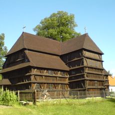
Wooden churches of the Slovak Carpathians
6.3 km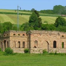
Františkova huta
2.6 km
Kościół pw Wszystkich Świętych
6.4 km
Magurka
6.3 km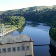
Vodní nádrž Tvrdošín
6.1 km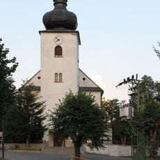
Kostel svatého Havla
3.2 km
St. John the Evangelist
3.1 km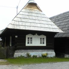
Roľnícka usadlosť, dom ľudový
723 m
St. John the Baptist
3.1 km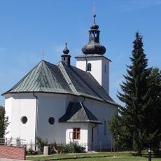
Kostol sv. Ladislava
5.8 km
St. John of Nepomuk
3.1 km
Pomník padlým v I. sv. v.
5.9 km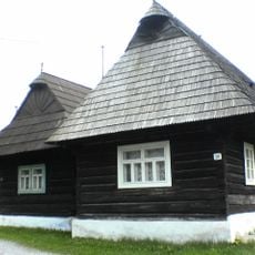
Ľudový dom
702 m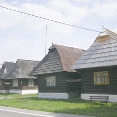
Ľudový dom
675 m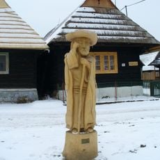
Ľudový dom
685 m
Dvojdom
637 m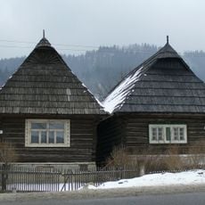
Ľudový dom
632 m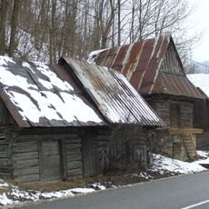
Súbor sýpok, sýpka
6.2 km
Statue, Work of art
670 m
Rezerwat drewnianej architektury
690 m
Scenic viewpoint
4.3 km
Scenic viewpoint
3.1 km
Scenic viewpoint
3.3 km
Scenic viewpoint
3.6 km
Scenic viewpoint
235 m
Červená skala
223 m
Červená skala
202 m
Scenic viewpoint
165 mReviews
Visited this place? Tap the stars to rate it and share your experience / photos with the community! Try now! You can cancel it anytime.
Discover hidden gems everywhere you go!
From secret cafés to breathtaking viewpoints, skip the crowded tourist spots and find places that match your style. Our app makes it easy with voice search, smart filtering, route optimization, and insider tips from travelers worldwide. Download now for the complete mobile experience.

A unique approach to discovering new places❞
— Le Figaro
All the places worth exploring❞
— France Info
A tailor-made excursion in just a few clicks❞
— 20 Minutes