Imagen de la Concepción
Location: Torrecilla en Cameros
GPS coordinates: 42.25600,-2.62900
Latest update: November 22, 2025 06:49
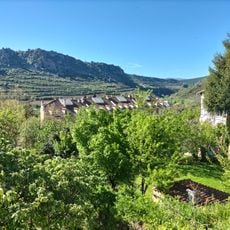
Cameros
142 m
Finca de Ribavellosa
3.5 km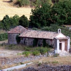
Ermita de San Andrés
370 m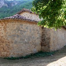
Ermita de San Pedro
2 km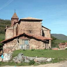
Iglesia Parroquial de San Martín
5.2 km
Yacimiento de Soto III
5.8 km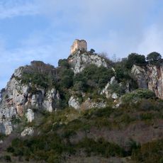
Castillo de Nieva de Cameros
5 km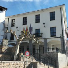
Casa consistorial de Torrecilla en Cameros
71 m
Scenic viewpoint
232 m
Sagrado Corazón de Jesús
285 m
Mural torrefactum
102 m
Trampantojo
238 m
Buitre leonado
5.1 km
El Santo
275 m
Casa de Cultura (antiguo Matadero)
275 m
Scenic viewpoint
3.2 km
Cueva Mesa
1.1 km
Crucero
458 m
Monumento a Sagasta
88 m
Wayside shrine
2 km
Casa natal de Sagasta
38 m
Wayside shrine
938 m
Castillo de Nieva
5 km
Ermita de San Bartolomé
4.1 km
La calera
1.3 km
Ermita de San Vicente
1.4 km
Ermita de Santiago
5 km
Ruinas sanatorio de tuberculosos
3.1 kmReviews
Visited this place? Tap the stars to rate it and share your experience / photos with the community! Try now! You can cancel it anytime.
Discover hidden gems everywhere you go!
From secret cafés to breathtaking viewpoints, skip the crowded tourist spots and find places that match your style. Our app makes it easy with voice search, smart filtering, route optimization, and insider tips from travelers worldwide. Download now for the complete mobile experience.

A unique approach to discovering new places❞
— Le Figaro
All the places worth exploring❞
— France Info
A tailor-made excursion in just a few clicks❞
— 20 Minutes