Bridging
Location: Victoria
Creator: Frank Lewis
Creator: Frank Lewis
GPS coordinates: 48.44279,-123.37953
Latest update: November 23, 2025 01:54
Galloping Goose Regional Trail
1.7 km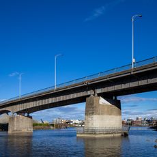
Point Ellice Bridge Disaster
952 m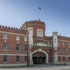
Bay Street Armoury
1.4 km
Esquimalt and Nanaimo Railway Roundhouse
1.4 km
Point Ellice House / O'Reilly House
764 m
223 Robert Street
1.7 km
1114 Arthur Currie Lane
718 m
Bay Street Substation
1.2 km
Museum of the 5th (British Columbia) Regiment Royal Canadian Artillery
1.4 km
Promontory
1.6 km
The Hands of Time: Carving a Canoe Paddle
1.7 km
Sher's Bears
1.5 km
Public Works Through The Years
637 m
Purple Martin
437 m
Blue Bridge Theatre
1.6 km
Topography
184 m
Water Keepers' Pole
1.1 km
West Coast Spirit
1 km
Four Winds
1.6 km
Burnside Heritage Mural
411 m
Connected Through Our Roots
1.6 km
Na'mima
1.6 km
Lady Justice Mural
1.6 km
Work of art, sculpture
1.6 km
Scenic viewpoint
1.2 km
Scenic viewpoint
956 m
Scenic viewpoint
1.7 km
Scenic viewpoint
1.5 kmReviews
Visited this place? Tap the stars to rate it and share your experience / photos with the community! Try now! You can cancel it anytime.
Discover hidden gems everywhere you go!
From secret cafés to breathtaking viewpoints, skip the crowded tourist spots and find places that match your style. Our app makes it easy with voice search, smart filtering, route optimization, and insider tips from travelers worldwide. Download now for the complete mobile experience.

A unique approach to discovering new places❞
— Le Figaro
All the places worth exploring❞
— France Info
A tailor-made excursion in just a few clicks❞
— 20 Minutes