Vildmarksvägen, Scenic mountain road in Jämtland and Västerbotten, Sweden.
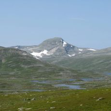
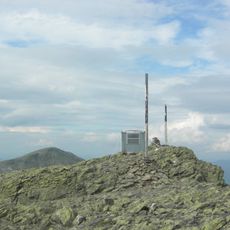
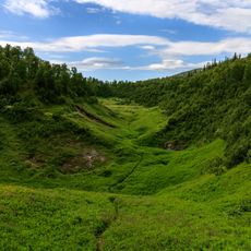
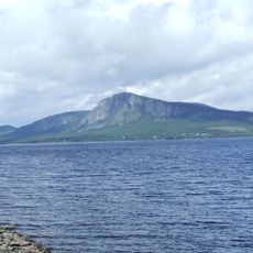
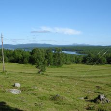
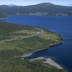
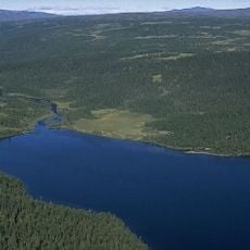
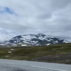
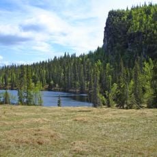
This 500-kilometer route winds through northern Sweden's wilderness, crossing the Stekenjokk plateau at 876 meters above sea level, surrounded by fjells, lakes, and forests home to one of Sweden's densest brown bear populations.
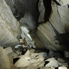
Originally constructed in 1969 to serve the copper mine at Stekenjokk, the road became a major tourist attraction after the mine closed in 1989, transforming from an industrial transport route into Sweden's highest paved scenic highway.
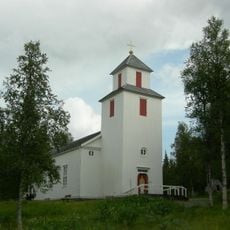
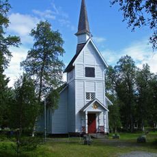
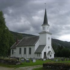
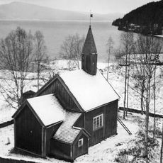
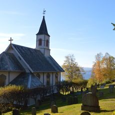
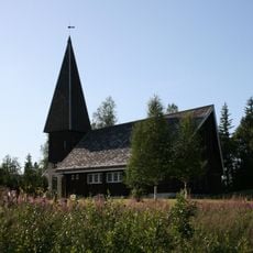
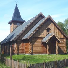
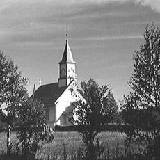
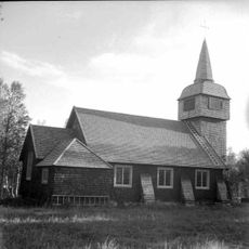
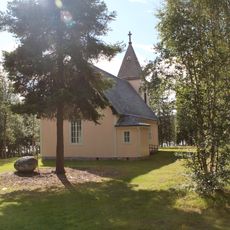
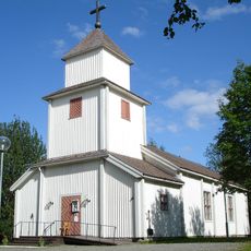
The route connects several Sami cultural sites including Fatmomakke church town and Ankarede, where reindeer herders have gathered for centuries, offering visitors insights into traditional Sami life through historic kåtor buildings and cultural centers.
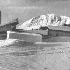
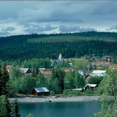
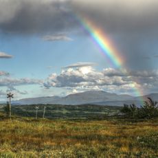
Open seasonally from June to October due to heavy snowfall, the road requires careful planning as many sections become impassable during winter months, with accommodation options ranging from camping sites to mountain lodges throughout the route.
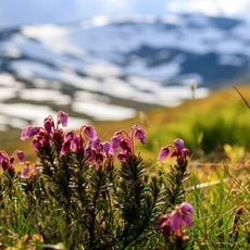
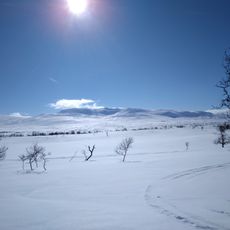
Travelers can experience skiing conditions until midsummer on the Stekenjokk plateau, where snow walls often line the road even during early summer months, creating an extraordinary contrast with the blooming valleys below.
The community of curious travelers
AroundUs brings together thousands of curated places, local tips, and hidden gems, enriched daily by 60,000 contributors worldwide.