
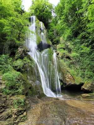
Cascade d'Autoire, Waterfall in Autoire, Lot, France.
Cascade d'Autoire plunges 30 meters down limestone cliffs within a natural amphitheater of 150 to 200-meter-high rock faces, creating a silver curtain of water that nourishes the lush vegetation thriving in this protected geological formation surrounded by dramatic vertical walls.
The Autoire region bears evidence of human settlement dating back to Roman times, while the ruins of Château des Anglais atop the cliffs served as a strategic fortified refuge during the Hundred Years' War for mercenary bands seeking shelter in these naturally defensive limestone formations.
The village of Autoire, ranked among France's Most Beautiful Villages, hosts annual festivals celebrating its natural wonders where local communities organize guided tours and traditional storytelling sessions to share regional history and folklore with visitors from around the world.
Access to the waterfall requires a 1.2-kilometer marked trail from the parking area, and visitors must wear appropriate footwear while respecting the strict swimming prohibition designed to preserve the ecological balance of this classified sensitive natural space.
This waterfall stands as the highest in the Lot department and distinguishes itself through its integration into a protected ecosystem where rare birds of prey nest, creating a preserved natural sanctuary of exceptional beauty accessible to all visitors.
Location: Autoire
Address: 46400 Autoire, France 46400 Autoire
GPS coordinates: 44.84447,1.81052
Latest update: September 21, 2025 16:31
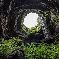
Padirac Cave
5 km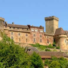
Château de Castelnau-Bretenoux
6.2 km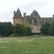
Castle of Montal
4.9 km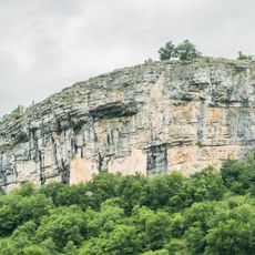
Château des Anglais
785 m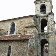
Église Sainte-Spérie de Saint-Céré
6.5 km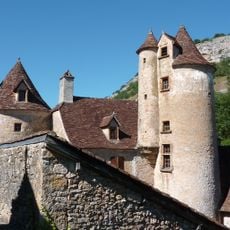
Château de Limargue
1.2 km
Collégiale Saint-Louis du château de Castelnau-Bretenoux
6.3 km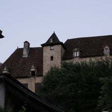
Château de Busqueilles
1.3 km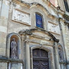
Église des Récollets de Saint-Céré
6.5 km
Padiparc
5 km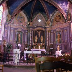
Église Saint-Jean-Baptiste de Loubressac
3.1 km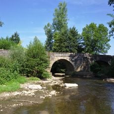
Pont de Maday
5.1 km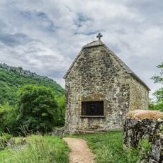
Saint Roch chapel in Autoire
994 m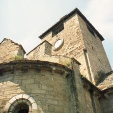
Église Saint-Pierre et Saint-Paul d'Autoire
1.3 km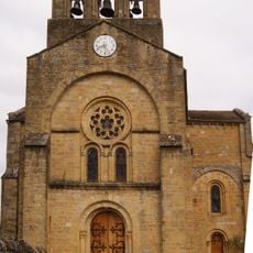
Église Saint-Gilles de Bonneviole
6 km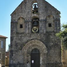
Église Saint-Blaise de Lavergne
6.6 km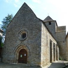
Église Saint-Barthélemy de Thégra
5 km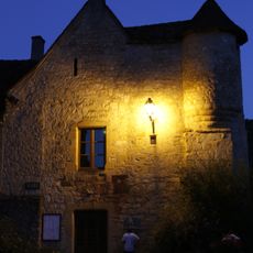
Town hall, Autoire
1.3 km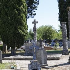
Thégra cemetery
4.9 km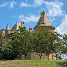
Golf de Montal
4.6 km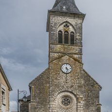
Saint Martin Church in Mayrinhac-Lentour
3.4 km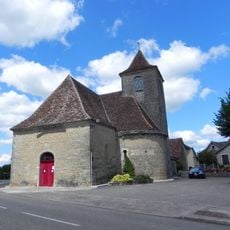
Église Saint-Julien de Padirac
4.5 km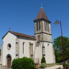
Église Saint-François-d'Assise de Saignes
6.3 km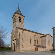
Église Saint-Michel de Saint-Michel-Loubéjou
6.2 km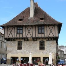
Maison consulaire de Saint-Céré
6.5 km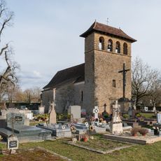
Église Saint-Martin de Saint-Martin-des-Bois
6 km
Maison, rue Paramelle
6.5 km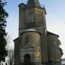
Chapelle Saint-Joseph de Mont Saint-Joseph
5.2 kmReviews
Visited this place? Tap the stars to rate it and share your experience / photos with the community! Try now! You can cancel it anytime.
Discover hidden gems everywhere you go!
From secret cafés to breathtaking viewpoints, skip the crowded tourist spots and find places that match your style. Our app makes it easy with voice search, smart filtering, route optimization, and insider tips from travelers worldwide. Download now for the complete mobile experience.

A unique approach to discovering new places❞
— Le Figaro
All the places worth exploring❞
— France Info
A tailor-made excursion in just a few clicks❞
— 20 Minutes