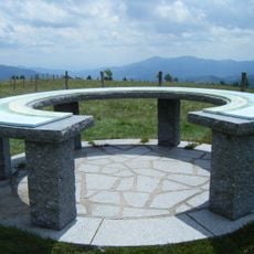
Chalet Refuge de la Croix Louis
Location: Cornimont
Inception: January 1, 1977
Fee: No
Operator: Commune de Cornimont et l'Office National des Forêts
GPS coordinates: 47.98192,6.90537
Latest update: September 27, 2025 00:14
Le Grand Ventron
2.9 km
Réserve naturelle nationale du massif du Ventron
3.2 km
Tête du Broche
3 km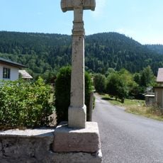
Croix de chemin de la rue du Hohneck
2.4 km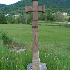
Croix de chemin de la route de Vologne
3.1 km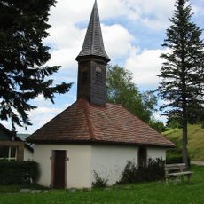
Chapelle Notre-Dame-des-Agonisants de Col du Brabant
2.7 km
Les Roches de la Clairie
3 km
Scenic viewpoint
1.5 km
Roche du Daval
3 km
Scenic viewpoint
2.9 km
Scenic viewpoint
3.1 km
Le Sacré Cœur
2.9 km
Scenic viewpoint
2.4 km
Scenic viewpoint
590 m
Scenic viewpoint
2.5 km
Catholic church building, wayside cross, Christianity
1.5 km
Le Calvaire
2.6 km
Wayside cross, Christianity, Catholic church building
2.8 km
Memorial, stele
2.9 km
Bol d'air
2.3 km
Le christe
2.9 km
Parc des Aventuriers
2.3 km
Bois des Lutins
2.2 km
Wayside shrine, tree
1.9 km
Memorial, war memorial
1.9 km
Wayside cross
1.1 km
Waterfall
1 km
Stele, memorial
970 mReviews
Visited this place? Tap the stars to rate it and share your experience / photos with the community! Try now! You can cancel it anytime.
Discover hidden gems everywhere you go!
From secret cafés to breathtaking viewpoints, skip the crowded tourist spots and find places that match your style. Our app makes it easy with voice search, smart filtering, route optimization, and insider tips from travelers worldwide. Download now for the complete mobile experience.

A unique approach to discovering new places❞
— Le Figaro
All the places worth exploring❞
— France Info
A tailor-made excursion in just a few clicks❞
— 20 Minutes