
East view
Location: מועצה אזורית חוף השרון
GPS coordinates: 32.22323,34.81969
Latest update: October 24, 2025 18:53
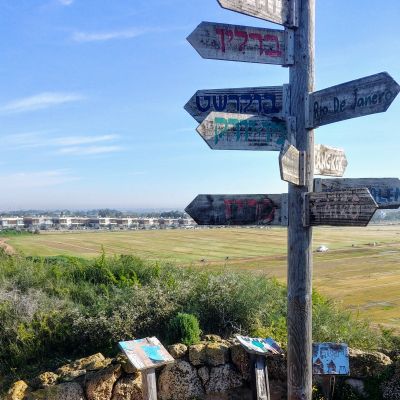
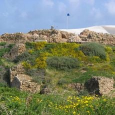
Arsuf
3.4 km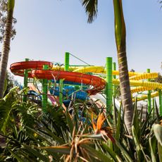
פארק המים שפיים
990 m
Hof HaSharon National Park
2.3 km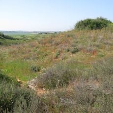
Bnei Zion nature reserve
3.3 km
Gan Le'ummi Apolonya
3.5 km
Hof HaSharon Lookout
611 m
Shemurat Yam Poleg
3.4 km
Scenery Hill
3.5 km
תע"ש נוף ים
2.8 km
Landfill Hill Raanana
3.6 km
תצפית לאפולוניה
3.2 km
Scenic viewpoint
1.1 km
Archaeological site
3.5 km
Shfa'im Paintball
1.1 km
Scenic viewpoint
3.3 km
באר ישנה
3.3 km
Hamei - Gaash
1.1 km
Scenic viewpoint
3.4 km
Scenic viewpoint
652 m
Scenic viewpoint
3.4 km
הגלריה הירוקה
1.8 km
Scenic viewpoint
3.5 km
Memorial
626 m
Bench, scenic viewpoint
545 m
שער העיר הצלבנית ארסוף
3.5 km
בית קברות צלבני
3.5 km
גן פסלים - בית סניור
3.6 km
Scenic viewpoint
377 mReviews
Visited this place? Tap the stars to rate it and share your experience / photos with the community! Try now! You can cancel it anytime.
Discover hidden gems everywhere you go!
From secret cafés to breathtaking viewpoints, skip the crowded tourist spots and find places that match your style. Our app makes it easy with voice search, smart filtering, route optimization, and insider tips from travelers worldwide. Download now for the complete mobile experience.

A unique approach to discovering new places❞
— Le Figaro
All the places worth exploring❞
— France Info
A tailor-made excursion in just a few clicks❞
— 20 Minutes