
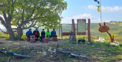
מצפה איתי
Location: מועצה אזורית מגידו
GPS coordinates: 32.63222,35.09557
Latest update: November 13, 2025 06:52
חנות קירה
1.6 km
Mish'ol Hill
1.1 km
Keren HaKarmel Forest
2.6 km
אצטרובל עגלת קפה
1.8 km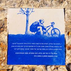
Rami Yaffe's spot
1.8 km
Shemurat Naẖal HaShofet
1.4 km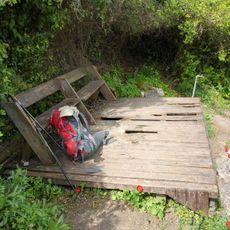
נקודת תצפית מעל קיבוץ הזורע עם ספסל ודק שבור מעץ. יש ברז מים בנקודה
2.5 km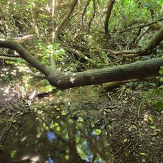
עץ אולמוס עתיק על גדות הנחל. זולה סודית לרגיעה בצמוד לדרך העפר על גדת הנחל. יש זרימה גם בסוף מאי
1.9 km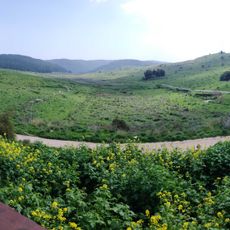
מצפור סיון
1.1 km
רחבת בטון מגודרת המשקיפה על הנחל.
1.7 km
טיקטין וקורנגולד
1.8 km
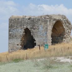
Rock-cut tomb, tomb, cave entrance
2.1 km
Scenic viewpoint
2.5 km
Scenic viewpoint
1.1 km
Theater
2.3 km
טחנת קמח
1.3 km
תל פרור
820 m
טחנת קמח
1.9 km
Ruins
2.6 km
Overlook trail
2.4 km
הר הקברות
1 km
Memorial, commemorative plaque
1.4 km
Ruins
606 m
Ruins
402 m
טחנת קמח בנחל השופט
1.9 km
הפינה של יובל יפה
2 km
בריכות נחל סנין
1.6 km
מפל נחל השופט
1.7 kmReviews
Visited this place? Tap the stars to rate it and share your experience / photos with the community! Try now! You can cancel it anytime.
Discover hidden gems everywhere you go!
From secret cafés to breathtaking viewpoints, skip the crowded tourist spots and find places that match your style. Our app makes it easy with voice search, smart filtering, route optimization, and insider tips from travelers worldwide. Download now for the complete mobile experience.

A unique approach to discovering new places❞
— Le Figaro
All the places worth exploring❞
— France Info
A tailor-made excursion in just a few clicks❞
— 20 Minutes