
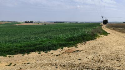
Mountain, summit, hill, scenic viewpoint
Location: מועצה אזורית חבל מודיעין
GPS coordinates: 32.03062,34.91521
Latest update: October 24, 2025 18:55
Mazor
2.6 km
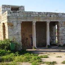
Mazor Mausoleum
3.4 km
Mahane Yisrael
2.9 km
המרכז למורשת יהדות טורקיה
2 km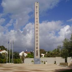
Israeli Signal Corps memorial (Yehud)
2.1 km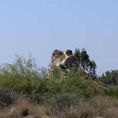
נוף נחמד בכל כיוון
3.5 km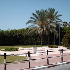
Nachshon Wachsman and Nir Poraz memorial
1.7 km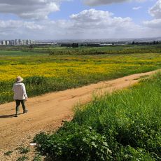
Hill, scenic viewpoint, mountain, summit
3.7 km
Beit HaMukhtar
3.1 km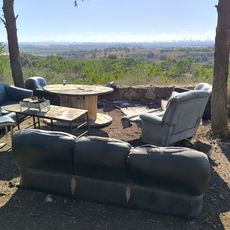
זולה (פינת חמד לנוח ולאכול) עם נוף יפה לכיוון מערב
3.4 km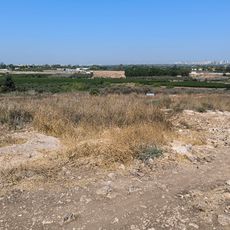
נוף יפה בכל כיוון
3.2 km
אלטירה
2.6 km
Statue, memorial
2.1 km
Scenic viewpoint
3.3 km
Scenic viewpoint
2.7 km
קבר הרב סנווני
2.3 km
Ruins
3.5 km
Ruins
3.5 km
מפל הכלבים
2.3 km
Statue, Work of art
3.5 km
مقام النبي كفل
2.8 km
Statue, Work of art
3.8 km
Work of art, mosaic
3.9 km
ספסל השידוכים
3.9 km
ברוך דיליאון
3.9 km
עוף החול
3.9 km
פינת עץ הדומים
3.9 km
Shai
3.9 kmReviews
Visited this place? Tap the stars to rate it and share your experience / photos with the community! Try now! You can cancel it anytime.
Discover hidden gems everywhere you go!
From secret cafés to breathtaking viewpoints, skip the crowded tourist spots and find places that match your style. Our app makes it easy with voice search, smart filtering, route optimization, and insider tips from travelers worldwide. Download now for the complete mobile experience.

A unique approach to discovering new places❞
— Le Figaro
All the places worth exploring❞
— France Info
A tailor-made excursion in just a few clicks❞
— 20 Minutes