
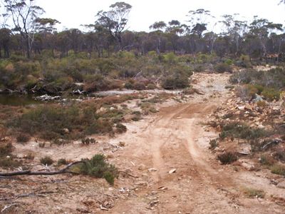
River crossing
Location: Ravensthorpe
Location: Shire Of Ravensthorpe
Website: https://www.bushtrax.com/images/fitzgerald/original/ftz39.jpg
Website: https://bushtrax.com/images/fitzgerald/original/ftz39.jpg
GPS coordinates: -33.77757,119.95208
Latest update: November 23, 2025 06:25
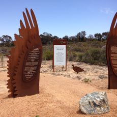
Cocanarup Memorial
20.2 km
West Beach
19.7 km
Mylies Beach
18 km
Barrens Beach
18.2 km
4 Mile Beach
18.3 km
ANZAC poppy
22 km
No Tree Hill
8.2 km
Mylies Beach
18.2 km
West Beach
19.6 km
Whalebone Beach
22.1 km
Four Mile Beach
18.9 km
Work of art, installation artwork
21.5 km
Driving Miss Daisy
22.1 km
Carnivorous tuna
22.1 km
Farm Gate Art Trail
22.1 km
Country High Tea
21.8 km
Barrons Beach
18.2 km
West Beach Point
19.9 km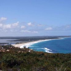
Barrens Lookout
17.8 km
Scenic viewpoint
17.5 km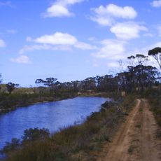
Philips River
211 m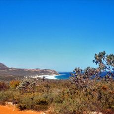
Looking over Mylies Beach
17.9 km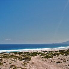
SW
20.8 km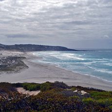
Looking over Hammersley sand bar towrds Hammersley sand dunes
21.5 km
SE
21.5 km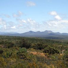
Looking towards Mid Mt Barren
16.8 km
Scenic viewpoint
20.2 km
Scenic viewpoint
20.6 kmReviews
Visited this place? Tap the stars to rate it and share your experience / photos with the community! Try now! You can cancel it anytime.
Discover hidden gems everywhere you go!
From secret cafés to breathtaking viewpoints, skip the crowded tourist spots and find places that match your style. Our app makes it easy with voice search, smart filtering, route optimization, and insider tips from travelers worldwide. Download now for the complete mobile experience.

A unique approach to discovering new places❞
— Le Figaro
All the places worth exploring❞
— France Info
A tailor-made excursion in just a few clicks❞
— 20 Minutes